What is recorded here
Indicated is a small triangular crannog in Derrybrick Lough, County Cavan, holding the stone remains of a circular hut and a bronze axe. It floats thirty-five metres from the shore, close enough to touch yet separated by water, suggesting a place chosen for privacy rather than grandeur. The axe and cross-inscribed slab link the island to Drumlane, hinting that people moved meaningful objects across the lough when memory or belief needed shaping.
Small triangular-shaped island (c. 28m ENE-WSW; c. 22m NW-SE) in shallow water, in Derrybrick Lough, c. 35m from the shoreline. Davies (NMI Survey 1941) recorded the foundations of a small roughly circular hut consisting of loose rough stones one course high, which apparently had a small rough porch, on the inshore point of the island. Within the hut he found (Davies 1942, 16) a bronze axe with low hammered flanges and a cross-inscribed slab which he speculated may have been taken from Drumlane c. 500m to WNW (CV014-028----). Stakes were also observed between the island and the mainland.
The above description is derived from the published 'Archaeological Inventory of County Cavan' (Dublin: Stationery Office, 1995). In certain instances the entries have been revised and updated in the light of recent research.
Date of upload/revision: 22 December 2008
The monument record does not grant public access. Check the route and ask the landowner before entering private land.
- What survives
- Recorded monument
Places near here
 Holy WellHoly well · 938 yd
 DerrybrickMountain / peak · 989 yd
 TobermogueHoly well · 1173 yd
 Drumlane AbbeyHeritage attraction · 1264 yd
 Church in ruinsReligious house, Augustinian canons · 1328 yd
 InishmuckIsland · 1416 yd
 ArdanMountain / peak · 1715 yd
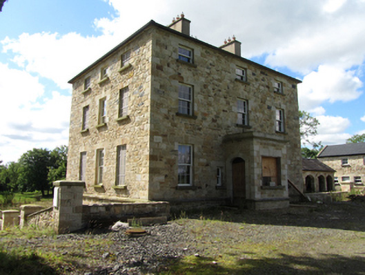 Drumlane Rectoryrectory/glebe/vicarage/curate's house · 1.2 mi
 Milltown NorthWood · 2.0 mi
 Clogh Oughter CastleCastle, Anglo-Norman masonry castle · 2.2 mi
 Duck IslandIsland · 2.4 mi
 Putiaghan Lower ForestForest · 2.5 mi