What is recorded here
Indicated is a lost fairy fort at the top of a Monaghan drumlin, reduced to a faint twenty-metre curve in a field boundary. It may have been a human ringfort, a marker for the fairies, or simply a ridge line misread by men who believed they understood land. The hills keep their own records and withdraw them when they choose.
Located at the highest point at the S end of a NNE-SSW drumlin ridge. A curved field boundary describing a U-shape E-S-W (diam. c. 20m E-W) at the S angle of a triangular haggard that is marked only on the 1907 edition of the OS 6-inch map may be the remnant of an ancient enclosure. No ancient or modern features survive.
Date of upload: 14 April 2011
The monument record does not grant public access. Check the route and ask the landowner before entering private land.
- What survives
- Recorded monument
Places near here
 IndicatedFairy fort / earthen ringfort · 219 yd
 outbuildingoutbuilding · 1295 yd
 Ballinode Community Centrehall · 1538 yd
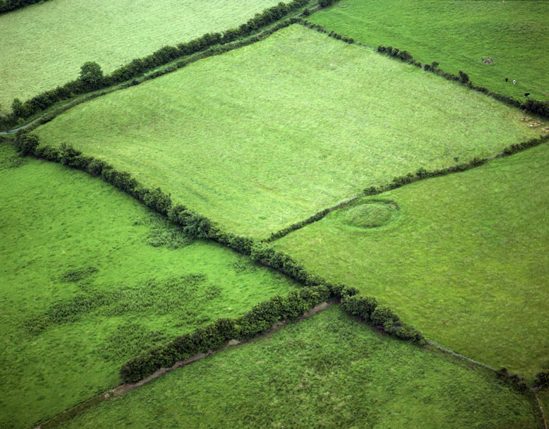 Fairy fort / earthen ringfort in Aghaboy NorthFairy fort / earthen ringfort · 1629 yd
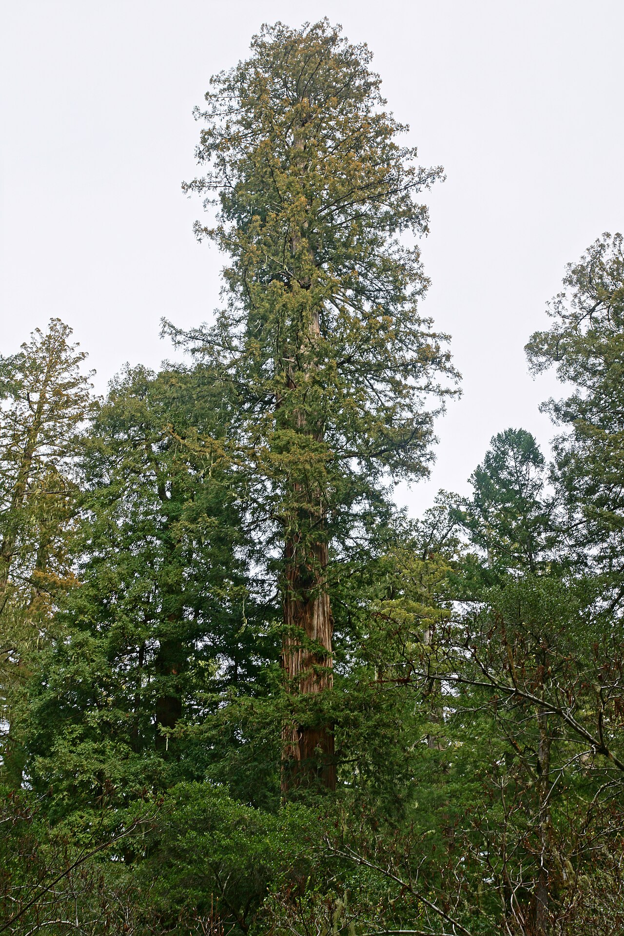 Coast RedwoodCoast Redwood · 1.3 mi
 Western RedcedarWestern Redcedar · 1.3 mi
 Monaghan County MuseumMuseum · 2.8 mi
 Rossmore MonumentMemorial · 2.9 mi
 Bawn in Roosky (monaghan By., Monaghan Par.)Bawn · 3.0 mi
 Rough HillMountain / peak · 3.0 mi
 Banba GiantHeritage attraction · 3.3 mi
 Sliabh Beagh Hotel and Tourism CentreVisitor information · 4.8 mi