What is recorded here
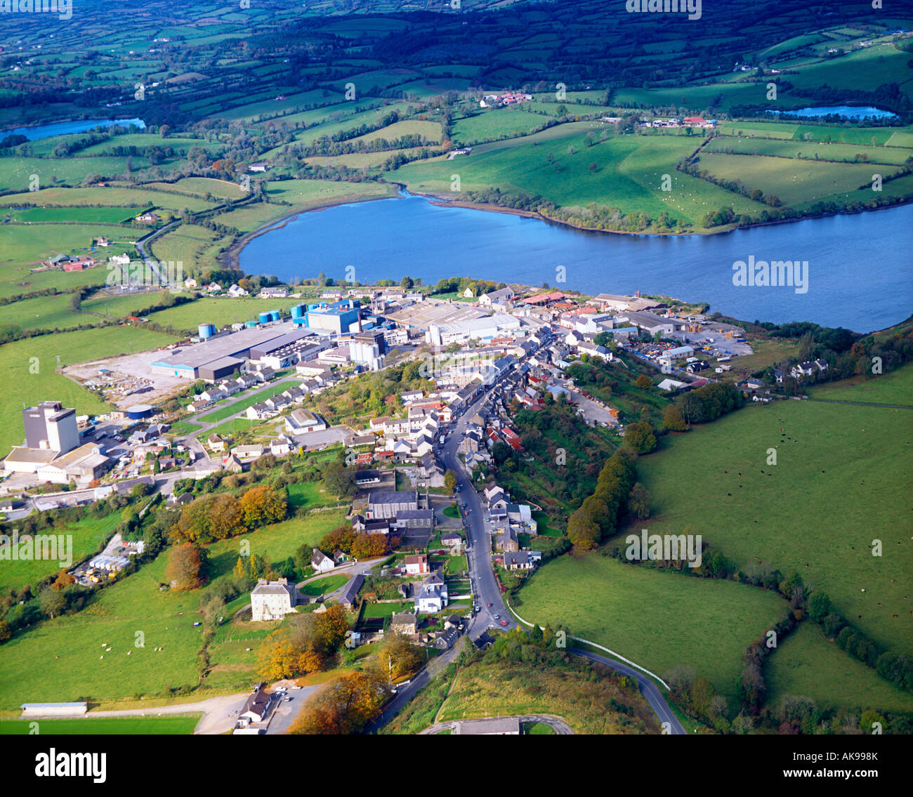
Indicated is a small tree-covered island just off the south shore of Mill Lough in County Cavan, Ireland. It has appeared on maps since 1908 and still shows in aerial images, yet no one has visited it. The lake is small enough to cross in a breath, but that island has kept its distance like a living thing.
Situated just off the S shore of Mill Lough, a small kidney-shaped lake (dims c. 550m E-W; c. 330m N-S). A small island (diam. c. 14m) is depicted on the 1908 and subsequent editions of the OS 6-inch map, and a small tree-covered feature is visible on all the aerial images. It was first reported by Anne-Karoline Distel and has not yet been visited.
Compiled by: Michael Moore
Date of upload: 28 October 2020
The monument record does not grant public access. Check the route and ask the landowner before entering private land.
- What survives
- Recorded monument
Places near here
 IndicatedFairy fort / earthen ringfort · 248 yd
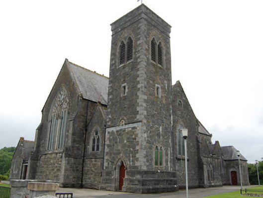 Saint Brigid's Catholic Churchchurch/chapel · 802 yd
 Drumgoon Bog WoodForest · 1300 yd
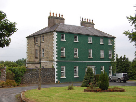 The Rectoryrectory/glebe/vicarage/curate's house · 1370 yd
 Pedunculate OakPedunculate Oak · 1528 yd
 Killeshandra Irish Countrywomen's Association 70th AnniversaryMemorial · 1.0 mi
 Court tomb in GartnanoulCourt tomb · 1.2 mi
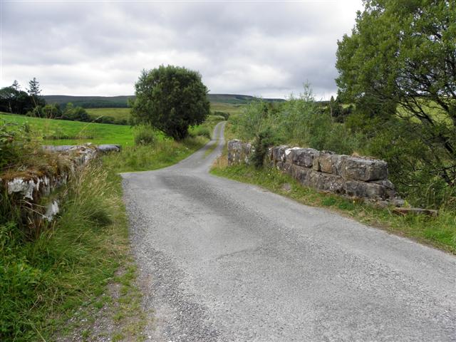 Derries UpperMountain / peak · 1.2 mi
 Creenagh GlebeMountain / peak · 1.2 mi
 Inch IslandIslet · 1.4 mi
 Woodenhouse BayBay · 1.6 mi
 Killykeen Forest ParkForest · 1.6 mi