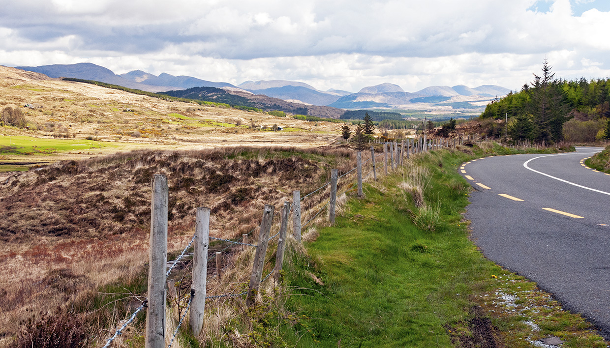
What is recorded here
This enclosure, marked as a subcircular field on the second edition of the OS map, is located on the S side of a low hill in land devoted to pasture. Extensive overgrowth of trees and thicket prevented detailed inspection. Recent field boundaries overlie the original circular outline of the site. A section of battered walling at NE, carefully constructed of uniform coursed slabs, may be original. The interior of the site is raised at S to compensate for the slope of the land.
The above description is derived from A. O'Sullivan and J. Sheehan (compilers), 'The Iveragh peninsula: an archaeological survey of South Kerry'. Cork University Press (1996), no. 741. In certain instances the entries have been revised and updated in the light of recent research.
Date of upload: 29 July 2013
The monument record does not grant public access. Check the route and ask the landowner before entering private land.
- What survives
- Recorded monument
Places near here
 IndicatedEnclosure · 411 yd
 CaveMan-made underground passage · 811 yd
 KnockatinnaMountain / peak · 1456 yd
 LaghtsheeMountain / peak · 1.4 mi
 R.C. Chapel (in Ruins)Church · 1.7 mi
 Gowlane R.C. Chapel (in Ruins)Church · 2.0 mi
 Mountain StageViewpoint · 2.0 mi
 Rossbeigh BeachBeach / strand · 2.3 mi
 FeaklecallyHeadland · 3.0 mi
 Sheep Dog TrainingHeritage attraction · 3.9 mi
 Chilean wine palmChilean wine palm · 4.9 mi
 Soft Tree-fernSoft Tree-fern · 4.9 mi
Other information
Photo: Credit not shown in the picture search · Rights wording not checked; contact us if this picture should be removed