What is recorded here
Indicated is a fairy fort in County Mayo, Ireland, where a raised circular ridge still carries marks of human shaping beneath hawthorn and hazel. Its steep sides, stone-topped edge and domed interior suggest a place made visible rather than merely buried, while the nearby raths remind the eye that this landscape held several such markers. Perhaps people walked its ridge, watched the wide western view and left behind a shape the land still repeats.
In pasture, in an area of undulating grassland, straddling a rise on the W end of an E–W ridge, with a steep fall of ground on the S W and N sides, and a more gradual slope to E along the spine of the ridge. Views are especially extensive to W and N. Raths (MA050-017----; MA050-015----) are visible 250m to ENE and 330m to NW respectively.
Raised roughly circular area (20.7m N–S; 23.7m E–W) defined by a scarp (H 2.5-3m at N and S, 0.95-1m at E and W), which is topped by a low spread (Wth c. 2m) of stones. In parts, the stones appear to be remnants of a wall, and at W a length of internal stone facing (H 0.2m) is visible. Whether the wall is a primary feature is, however, unclear. Elsewhere, at E and NW, piles of stones topping the scarp appear to be the result of relatively recent field clearance. At NW–NE the scarp is incorporated into a later field fence.
A low area (Wth 3.3m) in the scarp at E may mark an original entrance.
The interior gives the impression of being gently domed in profile, with a slight more marked slope from centre down to S, an effect reinforced by the natural contours of the ridge and the pronounced natural fall of ground to N and S. There is a Man-made underground passage (MA050-016002) in the centre of the interior. No evidence was found of a possible house (MA050-016003-) noted in the interior by O’Hara (1991, 138, no. 40). The rath is covered with hawthorn and hazel trees.
Compiled by: Jane O’Shaughnessy
Date of upload: 12 June 2020
The monument record does not grant public access. Check the route and ask the landowner before entering private land.
- What survives
- Recorded monument
Places near here
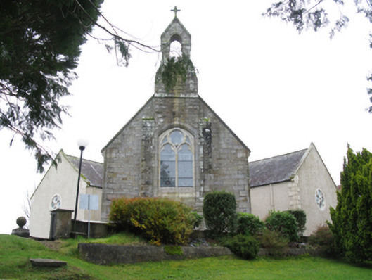 All Saints' Catholic Churchchurch/chapel · 974 yd
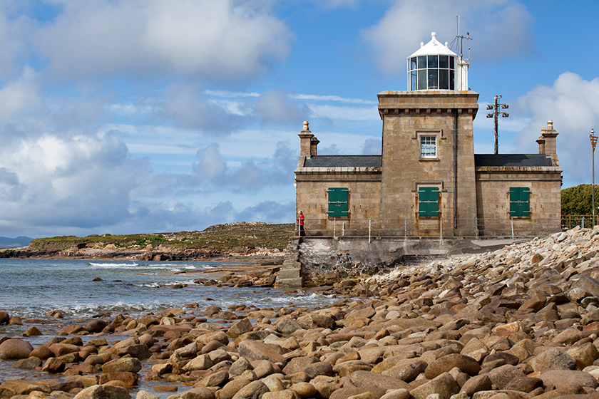 Enclosure in KnockmullinEnclosure · 1245 yd
 Enclosure in Carrowmore (gallen By., Killasser Par.)Enclosure · 1651 yd
 Killasser Church (in ruins)Church · 1655 yd
 HawthornHawthorn · 1.5 mi
 Castle (in Ruins)Castle, unclassified · 1.6 mi
 Hennigan's Heritage CentreHeritage attraction · 1.7 mi
 Procession Of The SoulsMemorial · 3.1 mi
 Youth Memorial GardenMemorial · 3.2 mi
 Brabazon WoodsForest · 3.5 mi
 Bawn in ToomoreBawn · 5.7 mi
 Thorn CaveCave · 6.5 mi