What is recorded here
Indicated is a fairy fort in County Mayo, Ireland. It stands on a grassy rise ringed by hawthorn and brambles, with another rath visible on a distant knoll. The oval platform holds ghostly stone walls and hidden chambers, inviting wonder rather than proof.
In pasture, located on a rise, with a more pronounced slope at W–NW. Overlooked at SW by a higher hill. Another rath (MA050-016----) is visible on a knoll 350m to SE.
Raised oval earthen platform (50.5m N–S; c. 37m E–W) defined by a substantial scarp (Wth slope 1.5m at SE, 3.8m at NW; ext. H 0.55m at SE, 2.1m at NW), which is markedly steeper on the W half. On the E half, the scarp is faced externally by a rough wall of jumbled stone, which appears to be of recent date.
Two roughly parallel ‘walls’ or linear heaps (Wth 1.4-1.7m; H 0.3m) of stone extend N–S for several meters through the interior. Both consist of low, rough jumbles of stone, without evident structure, and it is unclear if they are ruined walls representing internal divisions/structures, or merely the result of field clearance. The E ‘wall’ has an expanded terminal at N end, which curves slightly to E. The other W ‘wall’ appears to bifurcate at its N end, curving for a short distance both to E and W.
O'Hara (1991, 137, no. 39) recorded a Man-made underground passage (MA050-015002-) and a circular house (MA050-015003-) in the interior; no trace of either is now evident.
The perimeter is ringed with hawthorn and brambles; the interior largely grassy, but with clumps of hawthorn, ferns and irises. Heaps of field clearance debris are piled against the scarp in parts, especially on E half.
Compiled by: Jane O’Shaughnessy
Date of upload: 12 June 2020
The monument record does not grant public access. Check the route and ask the landowner before entering private land.
- What survives
- Recorded monument
Places near here
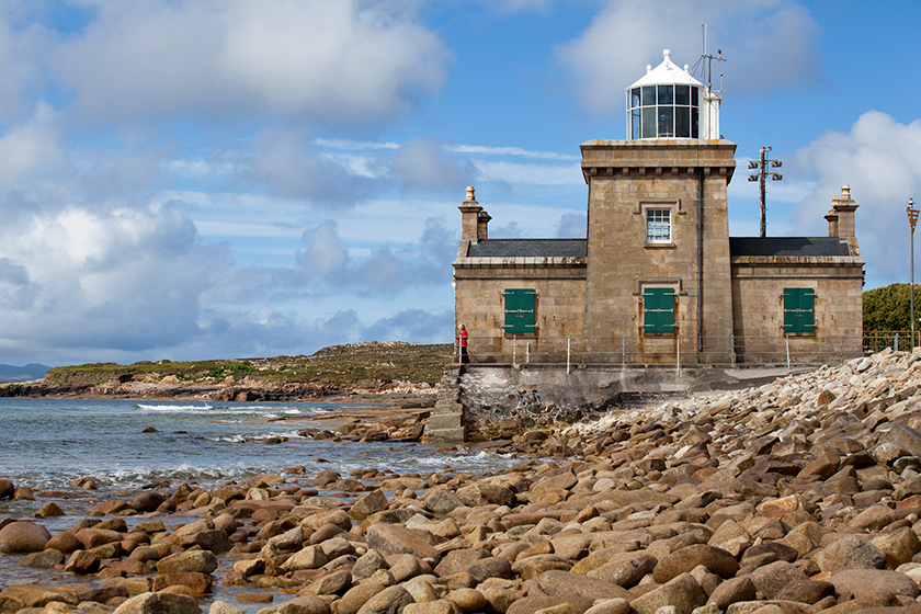 Enclosure in KnockmullinEnclosure · 848 yd
 Killasser Church (in ruins)Church · 1257 yd
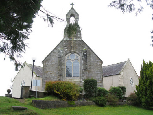 All Saints' Catholic Churchchurch/chapel · 1273 yd
 Enclosure in Carrowmore (gallen By., Killasser Par.)Enclosure · 1627 yd
 HawthornHawthorn · 1.6 mi
 Castle (in Ruins)Castle, unclassified · 1.7 mi
 Hennigan's Heritage CentreHeritage attraction · 1.7 mi
 Procession Of The SoulsMemorial · 3.3 mi
 Youth Memorial GardenMemorial · 3.4 mi
 Brabazon WoodsForest · 3.7 mi
 Bawn in ToomoreBawn · 5.7 mi
 KnockasliggaunMountain / peak · 6.4 mi