What is recorded here
Situated on level ground in gently undulating pasture. The monument lies within the demesne lands of Doonally House c.500m NW. It is depicted as a circular tree-covered area on the 1837 edition of the OS 6-inch map. On the 1912 edition is shown as a partially tree-covered enclosure (diam. c.20m) without hachures. The monument is visible from aerial photography (GSI G33-4). According to local information it was levelled in the 1980s (SMR (1989) file) and there are no visible surface remains now visible at ground level. In all probability this was a tree-ring.
Compiled by: Patrick F. O'Donovan
Date of upload: 21 April 2011
The monument record does not grant public access. Check the route and ask the landowner before entering private land.
- What survives
- Recorded monument
Places near here
 Enclosure in WillowbrookEnclosure · 320 yd
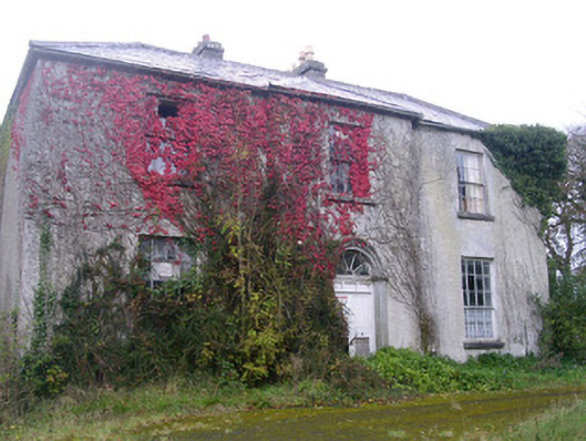 Doonally Househouse · 669 yd
 Enclosure in Doonally (carbury By., Drumcliff East Ed)Enclosure · 839 yd
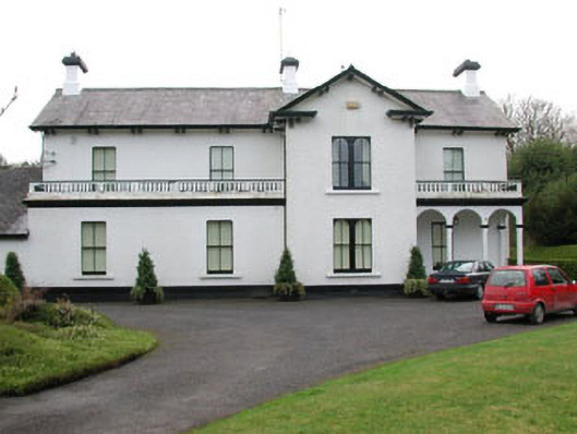 Ballyglass Househouse · 1.2 mi
 European BeechEuropean Beech · 1.7 mi
 Copes MountainMountain / peak · 2.1 mi
 Sligo Masonic HallMemorial · 2.3 mi
 Model Niland GalleryHeritage attraction · 2.3 mi
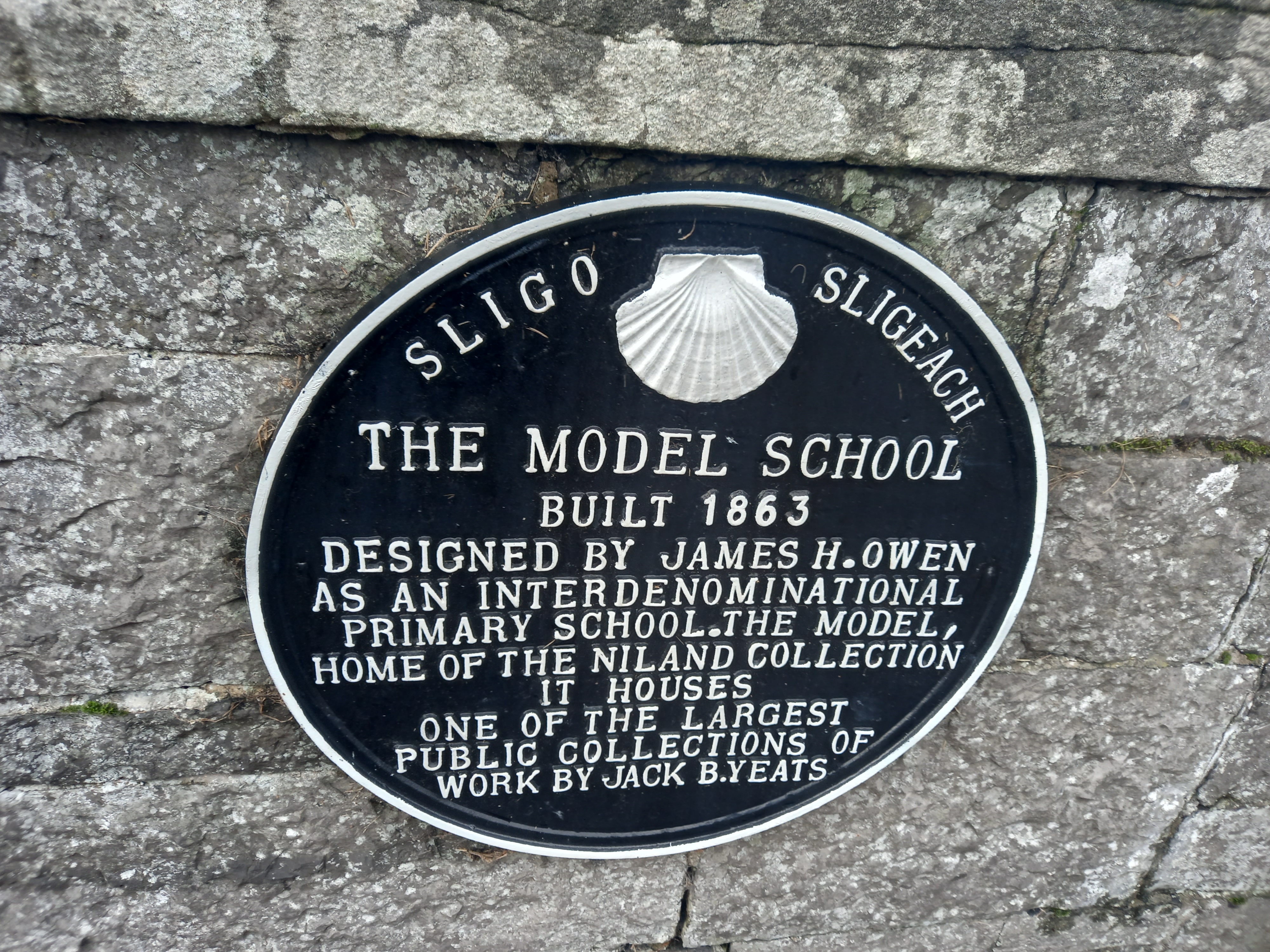 Model SchoolMemorial · 2.3 mi
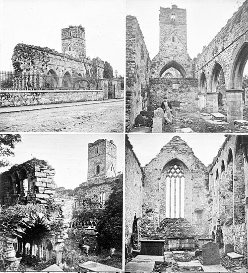 Sligo AbbeyMuseum · 2.5 mi
 SligoVisitor information · 2.5 mi
 Annagh BayBay · 2.5 mi