What is recorded here
Indicated is a nine-metre oval island in the reeds of Gortinty Lough, small enough to circle in a minute yet stubborn enough to resist explanation. It rises half a metre above the water, sandy and overgrown, with no wall, hole, or built edge to prove human hands. The lake is wide and shallow in places, narrow in others, and the island sits in a bay where the reeds thicken like a curtain. A crannog is supposed to be made, but this one may have been made by water and time, leaving people to project their myths onto a mound of sand.
Located within reeds in a small bay (diam. c. 100-125m) on the S shore of Drumgilra or Gortinty Lough, a subrectangular lake (dims c. 800-900m NE-SW; c. 400m NW-SE at SW to c.700m NW-SE at NE). A small island is depicted on the 1945 edition of the OS 6-inch map. This is an overgrown, oval, sandy island (dims 9m E-W; 7m N-S; H 0.5m) with no visible surface evidence of artificial construction.
The above description is derived from 'The Archaeological Inventory of County Leitrim' compiled by Michael J. Moore (Dublin: Stationery Office, 2003). In certain instances the entries have been revised and updated in the light of recent research.
Compiled by: Michael Moore
Date of upload: 23 September 2008
Amended: 6 December, 2019
The monument record does not grant public access. Check the route and ask the landowner before entering private land.
- What survives
- Recorded monument
Places near here
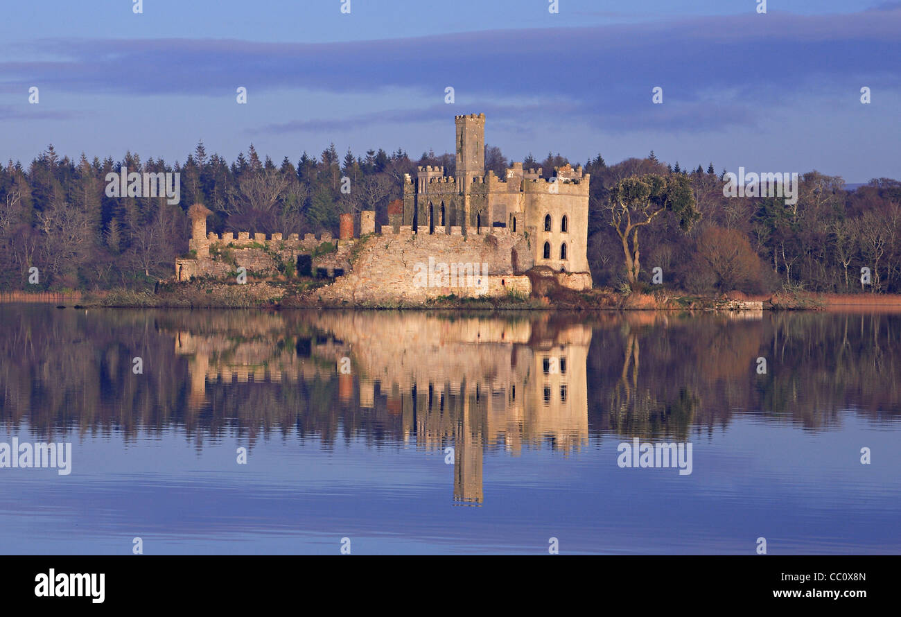 IndicatedFairy fort / earthen ringfort · 1404 yd
 Albert Locklock · 1470 yd
 Tom Dunphy MemorialMemorial · 1498 yd
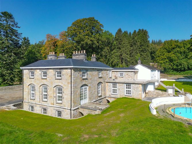 Ecclesiastical enclosure in AnnaduffEcclesiastical enclosure · 1498 yd
 Church (in Ruins)Church · 1514 yd
 Wildlife AreaNature reserve · 1.4 mi
 Robert Strawbridge MemorialMemorial · 1.7 mi
 Site of Dangan CastleCastle, unclassified · 2.3 mi
 InishmoylinIslet · 2.7 mi
 Coarse IslandForest · 2.9 mi
 Dockery's IslandIslet · 3.1 mi
 Cavan & Leitrim RailwayMuseum · 4.3 mi