
What is recorded here
Indicated is a circular earthen enclosure on a low ridge in County Mayo, Ireland. Its bank stands 1.5m high and 3.6m wide, with four shallow breaks and mature trees growing inside. The clear vertical faces suggest human shaping, yet the purpose remains uncertain. It may have been a rath converted into a tree-ring, marking a place where boundary and growth became one.
In pasture, located on top of a low roughly N–S ridge, close to the break of slope on the E side. Expanse of wet pasture and bog lie a the base of the ridge at W–N–E.
Very slightly raised circular area (29.5m N–S; 30.4m E–W) defined by an earthen bank (Wth 3.6m; int. H 0.8m; ext. H 1.5m). The inner and external faces of the bank are cut to the vertical and the bank is relatively uniform in height and width around the circuit. On the W arc the bank is incorporated into the line of a NNW–SSE field fence. On the inner edge of the bank at E there is a shallow, fosse-like depression. There are mature beech and sycamore trees growing in the interior and on the bank. There are four eroded breaks or low areas in the bank at NW (Wth 1m), NE (Wth 1.6m), SE (Wth 0.6m) and SW (Wth 1m).
The nature of this enclosure is uncertain, it may be a tree-ring or a rath modified to serve as a tree-ring.
Compiled by: Jane O’Shaughnessy
Date of upload: 18 April 2018
The monument record does not grant public access. Check the route and ask the landowner before entering private land.
- What survives
- Recorded monument
Places near here
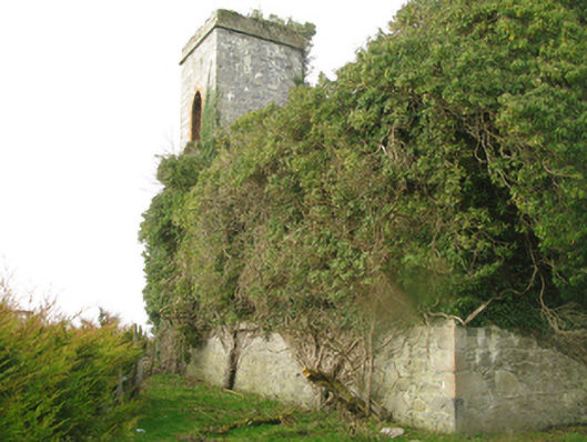 Castle Gorechurch/chapel · 473 yd
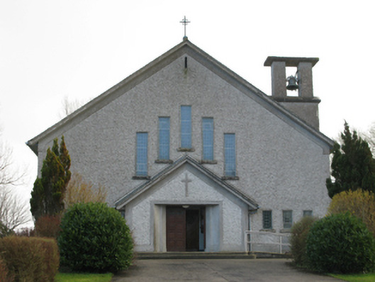 Catholic Church of Our Lady of the Assumptionchurch/chapel · 1192 yd
 Dermot & Graine's BedArchaeological place · 1469 yd
 Deel CastleCastle · 1513 yd
 CastleCastle, tower house · 1689 yd
 RathmoyleArchaeological place · 1.3 mi
 Battle of Ballinabattle · 2.7 miHumbert MonumentMemorial · 3.2 mi
 Roe IslandIslet · 3.8 mi
 Gull IslandIslet · 3.8 mi
 Belleek WoodsWood · 3.8 mi
 FloretteWreck · 4.1 mi
Other information
Photo: Credit not shown in the picture search · Rights wording not checked; contact us if this picture should be removed