What is recorded here
Archaeological test trenching in 2002 (Excavation Licence 02E0390) revealed the eastern end of a possible hollow way, the line of which is represented as a trackway on the 1841 OS 6-inch map. (Frazer 2004, 534)
Compiled by: Claire Breen
Date of upload: 17 January 2013
The monument record does not grant public access. Check the route and ask the landowner before entering private land.
- What survives
- Recorded monument
Places near here
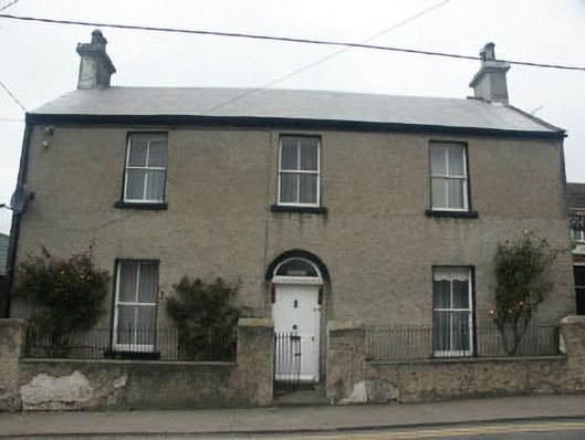 Lisieuxhouse · 56 yd
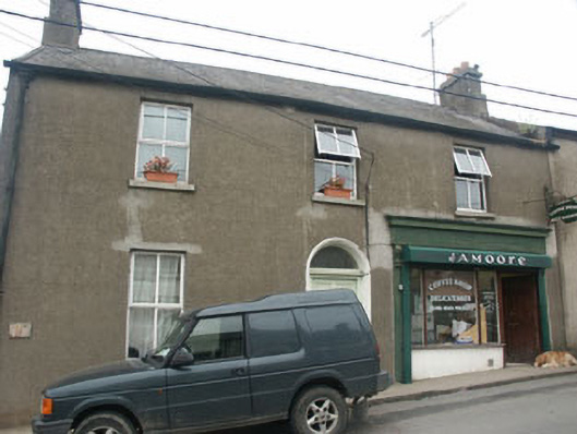 Hill View Househouse · 63 yd
 Delgany Heritage TrailWalking route · 259 yd
 TuliptreeTuliptree · 887 yd
 Kindlestown Castle (in ruins)Castle, hall-house · 949 yd
 Enclosure in FarrankellyEnclosure · 1039 yd
 Font in WoodlandsFont · 1423 yd
 Glen of the DownsNature reserve · 1.0 mi
 Greystones WayWalking route · 1.4 mi
 Greystones South BeachBeach / strand · 1.5 mi
 The CoveBeach / strand · 1.6 mi
 Rathdown Castle (in ruins)Castle, unclassified · 1.9 mi