What is recorded here
Indicated is a vanished circular enclosure in County Galway pastureland, mapped as a tree plantation in 1838 but redrawn as a bare fifty-metre boundary by 1920. It may have been a rath or a decorative feature for Dalystown House, yet even that possibility has dissolved under grass and forgetting. What remains is a ghost shape, remembered only through the changing certainty of other people's pens.
In gently rolling pastureland. Marked on the 1838 edition of the OS 6-inch map as an unenclosed circular mixed tree plantation. On the 1920 edition it is depicted as a circular enclosure (diam. c. 50m) clear of trees. No visible surface trace survives. Possibly a rath or a landscape feature associated with Dalystown House which is c. 200m to the SE.
Compiled by: Galway Archaeological Survey, UCG
Date of upload: 27 February 2019
The monument record does not grant public access. Check the route and ask the landowner before entering private land.
- What survives
- Recorded monument
Places near here
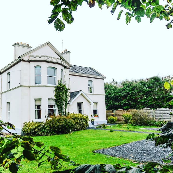 Enclosure in Dalystown DemesneEnclosure · 284 yd
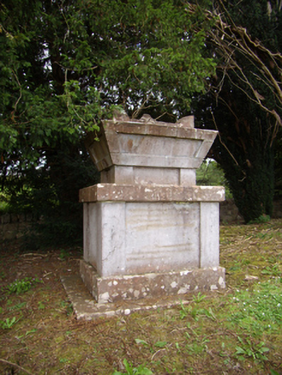 Dalyston Housemausoleum · 610 yd
 St Erneens WellHoly well · 1179 yd
 Metal Br.Bridge · 1486 yd
 Castle (in ruins)Castle, tower house · 1.2 mi
 Ballynamantragh CastleCastle, unclassified · 1.4 mi
 Stone Islands SouthIslet · 3.4 mi
 Long PointHeadland · 3.6 mi
 Island McCooIslet · 3.7 mi
 Quarryhill WoodWood · 5.3 mi
 Bog WoodForest · 5.7 mi
 Derrybrien Bog SlideHeritage attraction · 6.1 mi