What is recorded here
On a rise in gently rolling pastureland. Marked on the 1838 edition of the OS 6-inch map as an enclosed subcircular area of bushes (c. 60m E-W; c. 55m N-S). Possibly a landscape feature associated with Dalystown House (GA116-045----) c. 550m to the SE.
Compiled by: Olive Alcock
Date of upload: 24 July 2019
The monument record does not grant public access. Check the route and ask the landowner before entering private land.
- What survives
- Recorded monument
Places near here
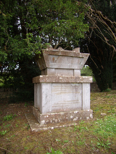 Dalyston Housemausoleum · 195 yd
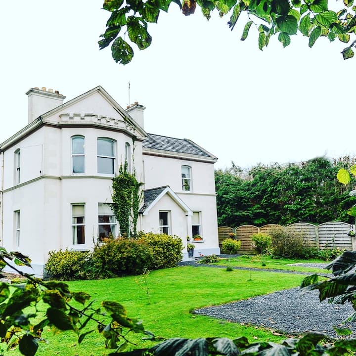 Enclosure in Dalystown DemesneEnclosure · 345 yd
 CaveMan-made underground passage · 1429 yd
 IndicatedQuarry · 1549 yd
 Castle (in ruins)Castle, tower house · 1.2 mi
 Ballynamantragh CastleCastle, unclassified · 1.3 mi
 Stone Islands SouthIslet · 3.2 mi
 Long PointHeadland · 3.4 mi
 Island McCooIslet · 3.4 mi
 Dartfield Horse MuseumHeritage attraction · 4.9 mi
 Scalpeen RockNamed rock · 5.4 mi
 Derrybrien Bog SlideHeritage attraction · 6.2 mi