What is recorded here
Situated in the flat valley-bottom of the N-S Tomgarrow stream, which is c. 40m to the N at the closest point. This is a circular area (diam. c. 30m) in mixed woodland that is defined by a water filled moat (Wth 6 8m), making the interior inaccessible. A leat enters the moat from the SSW and a silted leat goes N towards the stream. Moated site (WX035-045001-) is c. 130m to the N on the other side of the stream.
The above description is derived from the published 'Archaeological Inventory of County Wexford' (Dublin: Stationery Office, 1996). In certain instances the entries have been revised and updated in the light of recent research.
Compiled by: Michael Moore
Date of upload/revision: 15 October, 2012
The monument record does not grant public access. Check the route and ask the landowner before entering private land.
- What survives
- Recorded monument
Places near here
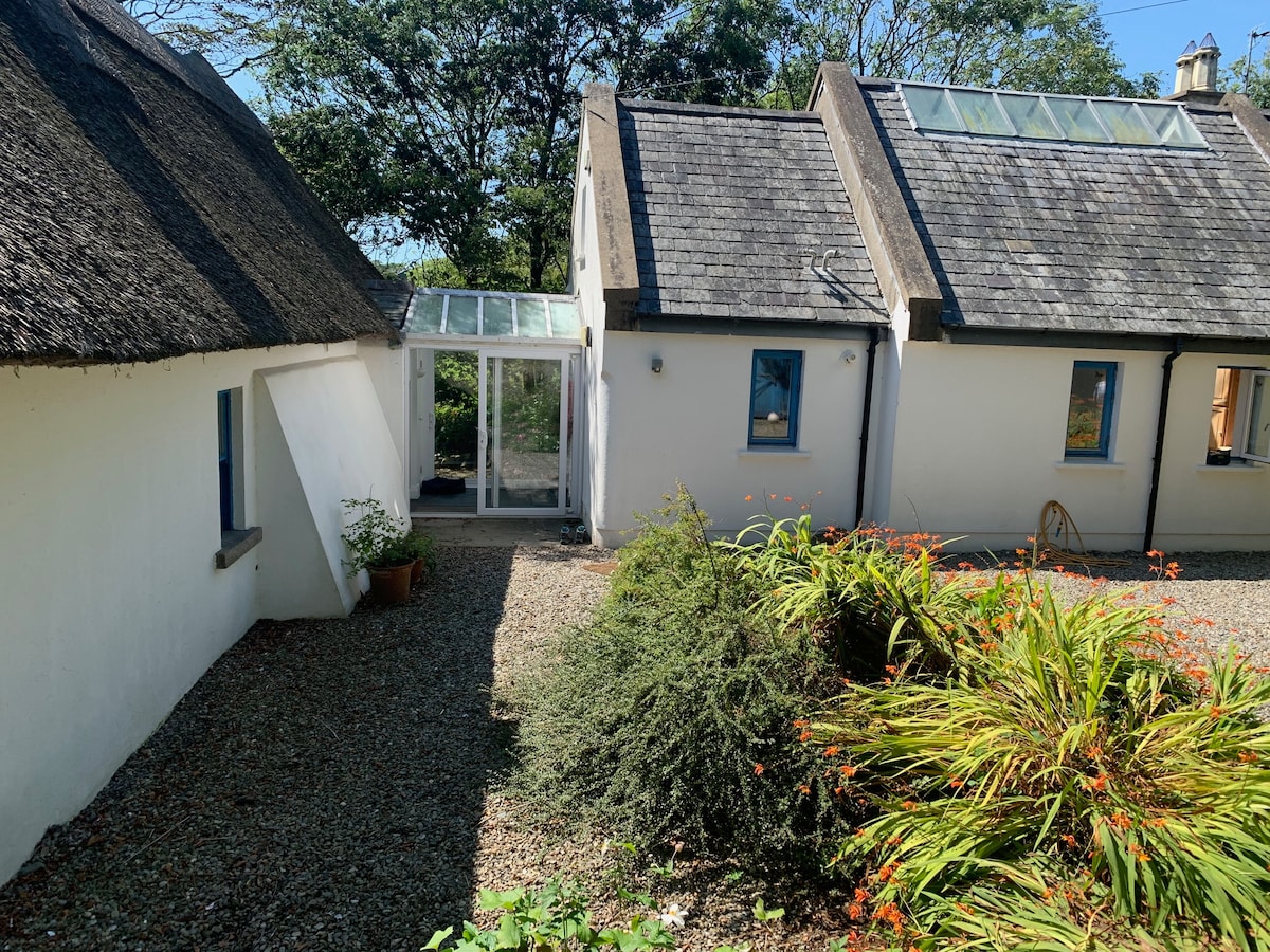 Enclosure in BallyclemockEnclosure · 464 yd
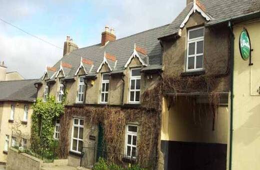 IndicatedHoly well · 686 yd
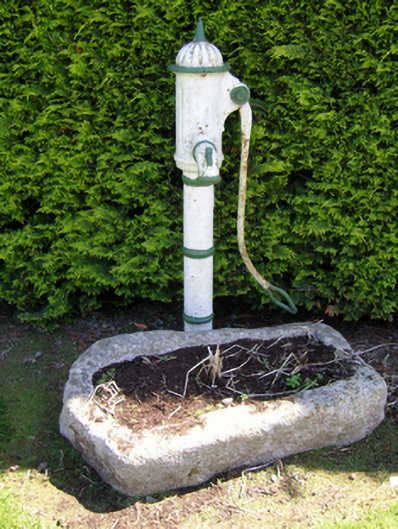 water pumpwater pump · 1753 yd
 Water millWater mill, horizontal-wheeled · 1.1 mi
 Castle (In Ruins)Ruins · 2.3 mi
 Bawn in Tracystown WestBawn · 2.3 mi
 Carrickbyrne HillMountain / peak · 2.6 mi
 Camaross HillMountain / peak · 3.1 mi
 Coolcliffe HouseRuins · 3.3 mi
 Glenour MonumentMemorial · 3.3 mi
 Carrig-On-BannowVisitor information · 7.2 mi
 1798 MemorialMemorial · 7.3 mi