Why this matters
A local fairy fort (ringfort/rath); wider significance not recorded.
Overview
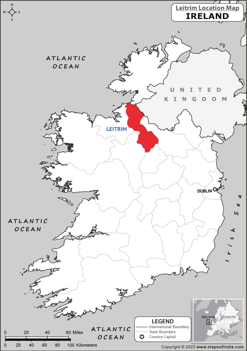
Indicated — Cromlin is recorded as Cliff-edge fort in Leitrim. Situated at the outer edge of a shelf of rock outcrop on a S-facing slope. This is a grass-covered D-shaped area (int.
Who made it and when
The saved account records: In certain instances the entries have been revised and updated in the light of recent research.
How it was made and used
The saved account records: 21.5m N-S) defined by a cliff at S (H c. 8m), by an earthen bank (Wth 5-7m
What was found
The saved account records: Situated at the outer edge of a shelf of rock outcrop on a S-facing slope.
What remains
The saved account records: This is a grass-covered D-shaped area (int.
Why it mattered
Indicated — Cromlin matters because the source ties cliff-edge fort to this exact landscape and preserves evidence that a bare map name loses. The saved account adds: H 0.3m at N to 1.8m at E) NW-N-SE and a partly rock-cut fosse SW-N-SE that is most massive at W (Wth of top 12.5m
History checked 15 August 2026 against the named sources below.
Add the human story, a picture, a first-hand message or a missing place.
Earn 5 points after the picture is checked and accepted.
Add a pictureAdd its storyTalk or ask a questionAdd a new placeThe monument record does not grant public access. Check the route and ask the landowner before entering private land.
Conversation about this place
Questions and messages sit beneath the source record. They are checked before appearing.
No questions or messages yet.
Ask a question or join the conversation