
What is recorded here
In undulating pasture. This enclosure is recorded on the 1929 OS 6-inch map and also in an aerial photograph (BDT 47; SMR file) as a subcircular area (diam. c. 30m) defined by a wall. At S-NNW the enclosing wall serves as the townland boundary and is extant. The enclosing wall at N-SSE has been levelled. Earthworks (LS118-037002-), which were visible in the same aerial photograph in the fields surrounding the enclosure, have also been levelled (Lavelle 1994, 55, no. 389).
Compiled by: Jane O'Shaughnessy
Date of upload: 20 November 2013
The monument record does not grant public access. Check the route and ask the landowner before entering private land.
- What survives
- Recorded monument
Places near here
 Castle in ruinsCastle, tower house · 693 yd
 Enclosure in BallyjenningsEnclosure · 932 yd
 Bunacrower CastleCastle · 1547 yd
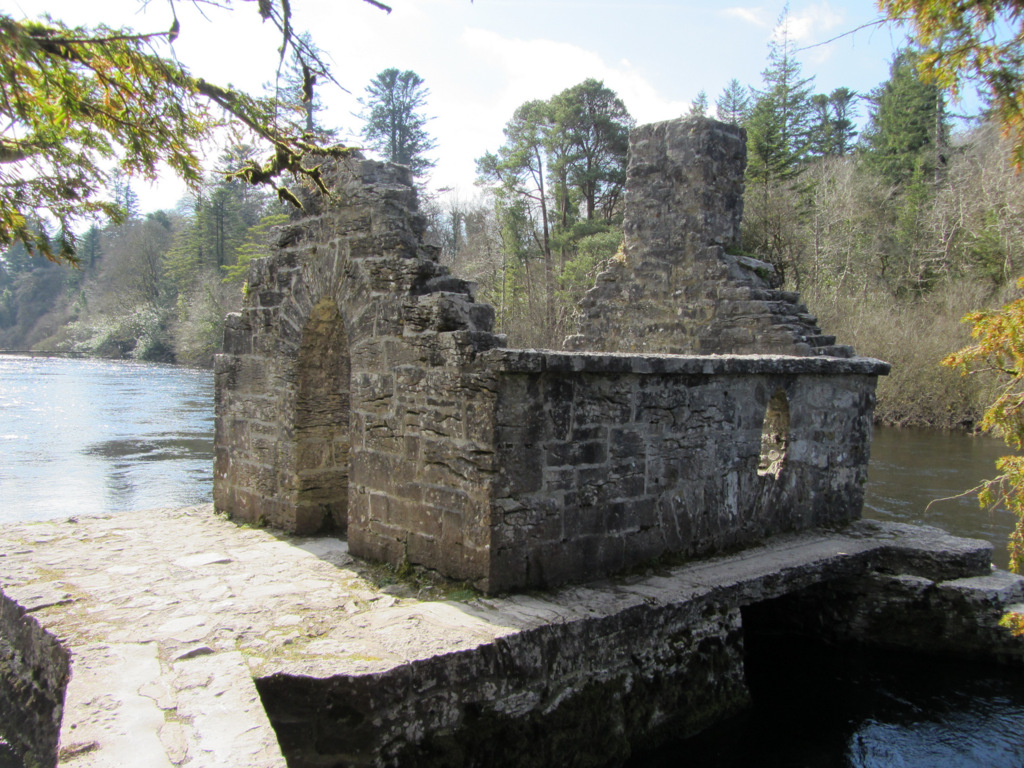 Enclosure in Kilquire LowerEnclosure · 1596 yd
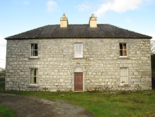 Carranvilla Housefarm house · 1.5 mi
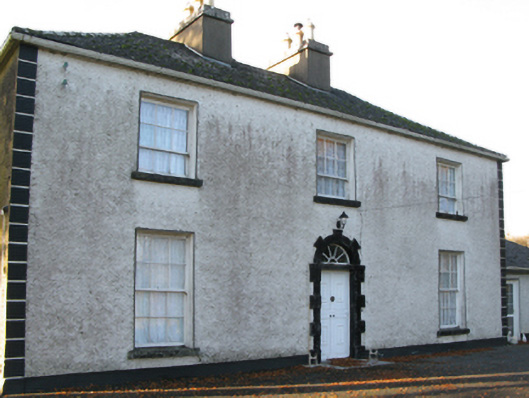 Fort Villefarm house · 1.7 mi
 SycamoreSycamore · 2.4 mi
 European ashEuropean ash · 3.3 mi
 LabbadermotCave · 4.5 mi
 Crane IslandIslet · 5.3 mi
 Cow IslandIslet · 5.4 mi
 School of FalconryHeritage attraction · 8.2 mi
Other information
Photo: Credit not shown in the picture search · Rights wording not checked; contact us if this picture should be removed