What is recorded here
Indicated is a lost circular enclosure on a Galway hillock, perhaps forty-five metres across, now buried under scrub and memory. It belonged to Cregaclare Demesne when people still knew the shape of the land, but even then its purpose hovered between fact and guess. A fort, a boundary, a child’s game with ropes and chalk: the details have thinned until only the circle remains, waiting to be drawn again.
On a hillock in pastureland, formerly part of Cregaclare Demesne. Marked on the 1838 edition of the OS 6-inch map as a circular area (diam. c. 45m) delimited by a broken line. Listed by McCaffrey (1952, 282, no. 24) as an ‘Earthen fort (?)’. The area is now covered with scrub and no visible surface trace survives.
Compiled by: Galway Archaeological Survey, UCG
Date of upload: 23 July 2019
The monument record does not grant public access. Check the route and ask the landowner before entering private land.
- What survives
- Recorded monument
Places near here
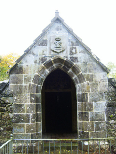 mausoleummausoleum · 516 yd
 R.C. Chapel (in Ruins)Church · 525 yd
 CaveMan-made underground passage · 957 yd
 Round Tower (in ruins)Round tower · 961 yd
 Castle (in ruins)Castle, Anglo-Norman masonry castle · 998 yd
 Ballymaquiff CastleCastle · 1.6 mi
 Drumharsna CastleHeritage attraction · 2.0 mi
 HawthornHawthorn · 2.6 mi
 European ashEuropean ash · 2.6 mi
 Drumacoo Monastic SiteHeritage attraction · 5.4 mi
 Mulroney's IslandIslet · 6.2 mi
 Kilmacduagh Monastic SiteVisitor information · 8.0 mi