
What is recorded here
Indicated is a ruined stone ringfort in County Mayo, Ireland, where a thirty-eight-metre circular wall still stands beside dense scrub and open pasture. Men levelled the western sector during clearance, scattering stones across the overgrown interior and breaking the ancient shape. The fort has lost part of its boundary, yet the remaining wall still marks a place where humans lived, worked and disappeared into local memory.
In pasture, extensive scrub to NW. Circular area (diam. 38m N-S), enclosed by substantial stone wall (Wth 3m; H 1.5m) NW to SE; W sector levelled during clearance. Interior very overgrown and contains clearance from destroyed portion of site.
The above description has been derived from D. Lavelle (compiler), An Archaeological Survey of Ballinrobe and District including Lough Mask and Lough Carra. Lough Mask and Lough Carra Tourist Development Association (1994), No. 273.
Date of upload: 15 October 2014
The monument record does not grant public access. Check the route and ask the landowner before entering private land.
- What survives
- Recorded monument
Places near here
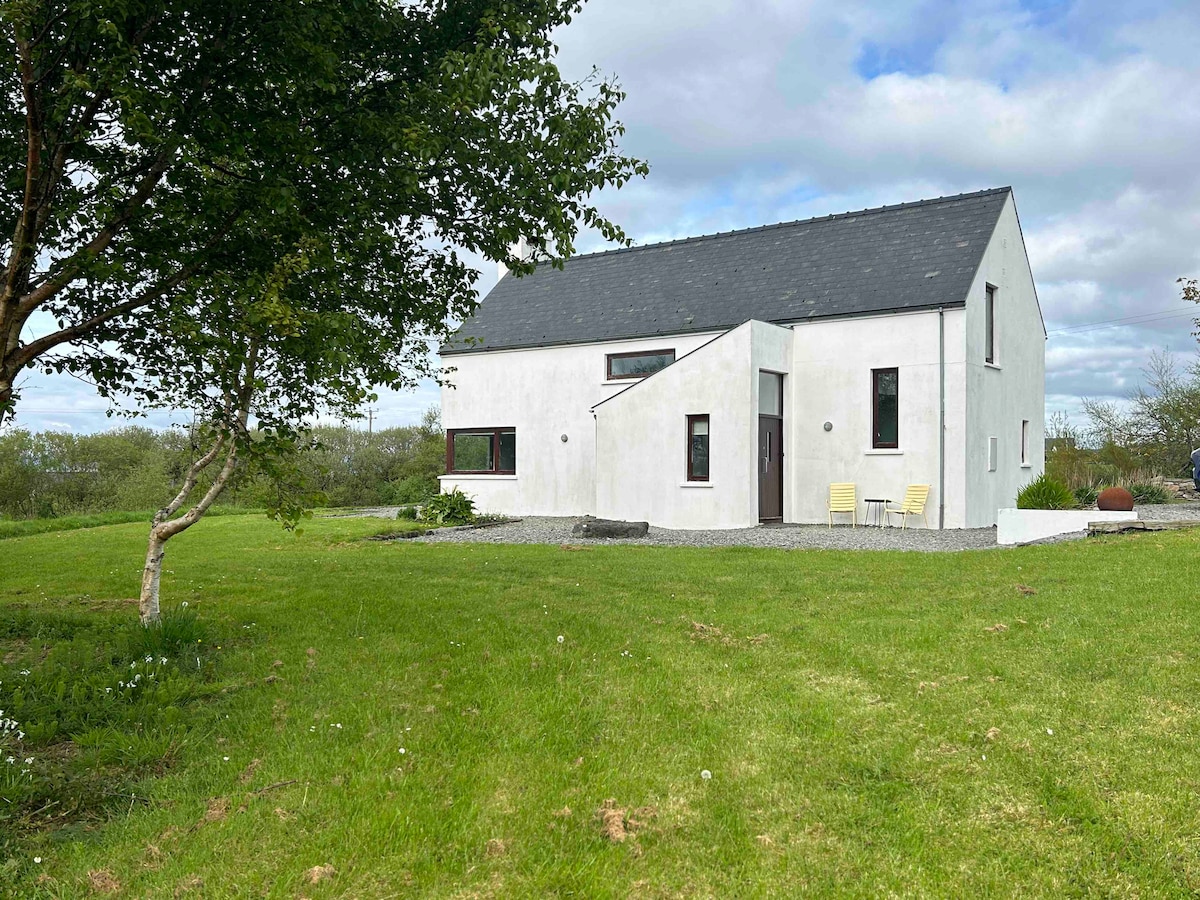 Enclosure in Drumsheel LowerEnclosure · 555 yd
 Enclosure in BarnaEnclosure · 947 yd
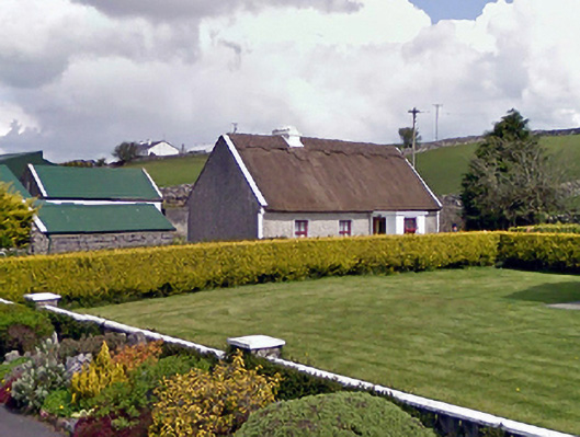 farm housefarm house · 1035 yd
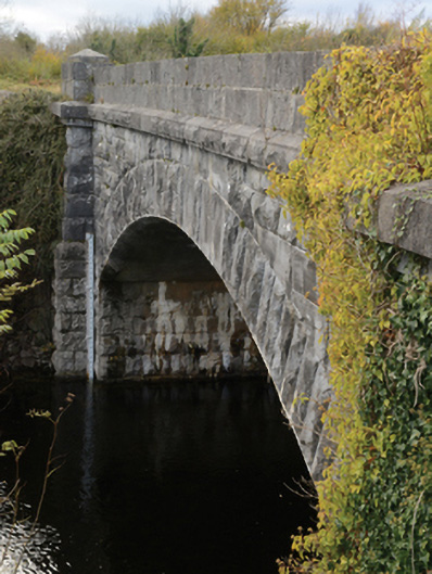 Carrownagower Bridgebridge · 1446 yd
 Castle (in Ruins)Castle, tower house · 1632 yd
 Kelly's CaveCave · 1.3 mi
 Quiet Man MuseumMuseum · 1.6 mi
 TonacashlanCastle, unclassified · 1.6 mi
 Cong AbbeyHeritage attraction · 1.6 mi
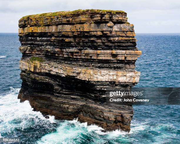 Long RockIslet · 1.6 mi
 European YewEuropean Yew · 1.6 mi
 Black IslandIslet · 1.8 mi
Other information
Photo: Credit not shown in the picture search · Rights wording not checked; contact us if this picture should be removed