What is recorded here
Indicated is a possible ringfort in County Mayo, Ireland, marked by a low circular bank rising less than a metre above undulating grazing land. The incomplete arc stretches from southwest to east-southeast, shaping a boundary rather than a complete wall. It appeared intact on an 1838 map, suggesting the earthwork still stood when surveyors drew the countryside. Whether people lived there or the shape belongs to older fairy tradition, the bank still interrupts the grass like a forgotten sentence.
In undulating grazing land. Circular area, enclosed by arc of bank (H 0.8m) SW to ESE. Site shown intact on OS map (1838). Possibly a ringfort.
The above description has been derived from D. Lavelle (compiler), An Archaeological Survey of Ballinrobe and District including Lough Mask and Lough Carra. Lough Mask and Lough Carra Tourist Development Association (1994), No. 433.
Date of upload: 14 November 2013
The monument record does not grant public access. Check the route and ask the landowner before entering private land.
- What survives
- Recorded monument
Places near here
 IndicatedEnclosure · 901 yd
 St Johns HouseReligious house, Knights Hospitallers · 986 yd
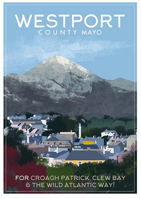 Tober PatrickHoly well · 1009 yd
 Saint Joseph's Convent of Mercyconvent/nunnery · 1362 yd
 European ashEuropean ash · 1.3 mi
 CastleCastle, unclassified · 1.4 mi
 Castle in ruinsCastle, tower house · 1.7 mi
 SycamoreSycamore · 2.3 mi
 LabbadermotCave · 2.8 mi
 Crane IslandIslet · 3.8 mi
 Cow IslandIslet · 3.9 mi
 School of FalconryHeritage attraction · 7.3 mi