What is recorded here
Indicated is a circular stone fort in County Cavan, marked on maps since 1836. Its thick drystone wall still stands around a raised area twenty-six metres across, though the original entrance has vanished. The fort has watched Cavan fields for centuries, keeping its shape while forgetting the name of the door.
Marked 'Fort' on OS 1836 and 1876 eds. Roughly circular raised area (int. diam. c. 26.5m) enclosed by a substantial drystone wall faced internally and externally with large stones. Original entrance not recognisable.
The above description is derived from the published 'Archaeological Inventory of County Cavan' (Dublin: Stationery Office, 1995). In certain instances the entries have been revised and updated in the light of recent research.
Date of upload/revision: 22 December 2008
The monument record does not grant public access. Check the route and ask the landowner before entering private land.
- What survives
- Recorded monument
Places near here
 IndicatedFairy fort / stone ringfort · 873 yd
 Sweathouse in Cornagee (clankee By.)Sweathouse · 924 yd
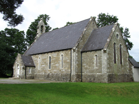 Killinagh Churchchurch/chapel · 1067 yd
 Saint Patrick's Catholic Churchchurch/chapel · 1267 yd
 BurrenMountain / peak · 1.1 mi
 Legnaveagh SinkholeCave · 1.1 mi
 Cavan BurrenHeritage attraction · 1.1 mi
 Boulder GraveyardArchaeological place · 1.1 mi
 Dolines/SinkholesCave · 1.1 mi
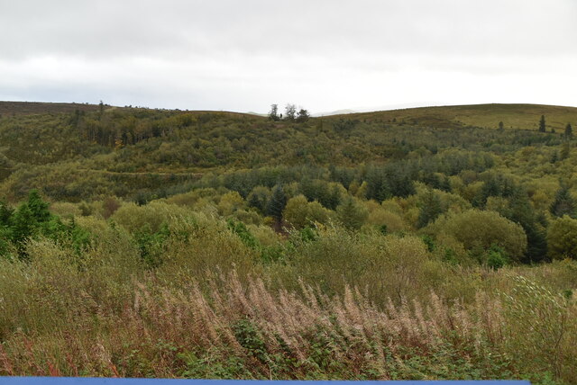 Cavan Burren ParkForest · 1.2 mi
 CullentraghMountain / peak · 1.4 mi
 Kilrooscagh IslandIslet · 1.5 mi