What is recorded here
Indicated is a faded thirty-seven-metre ring in Galway grassland, old enough to have lost most of its shape but still drawing the eye. It may have held a family, a herdsman or a forgotten claim to land. What remains is a shallow circle, neither hidden nor proud, waiting for someone to walk its line and remember that people once lived there.
In level grassland. Very poorly preserved circular rath (D 37m) defined by a degraded bank.
The above description is derived from the published 'Archaeological Inventory of County Galway Vol. II - North Galway'. Compiled by Olive Alcock, Kathy de hÓra and Paul Gosling (Dublin: Stationery Office, 1999).
Date of upload: 05 August 2010
The monument record does not grant public access. Check the route and ask the landowner before entering private land.
- What survives
- Recorded monument
Places near here
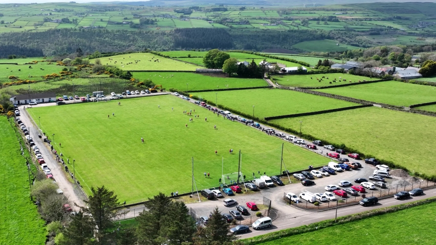 Field system in AnballyField system · 1.1 mi
 Castle (in ruins)Castle, tower house · 1.2 mi
 Enclosure in Tonamace (kilmoylan Ed)Enclosure · 1.4 mi
 St. Cathaldus Church (in ruins)Church · 1.4 mi
 Cregboyne FortBawn · 2.1 mi
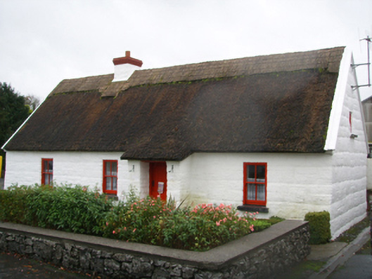 Lackagh Museum and Heritage Centrehouse · 2.2 mi
 European BeechEuropean Beech · 2.4 mi
 Cregg Castle DemesneForest · 3.7 mi
 Kilcoona Round TowerHeritage attraction · 6.9 mi
 Ballinduff BayBay · 7.3 mi
 Oileán an BhreathnaighIslet · 8.8 mi
 Oileán an AoilIsland · 8.9 mi