What is recorded here
In pasture, on W-facing slope. Circular area (33.5m N-S) enclosed by earthen bank (H 0.9m) N->S; scarp (H 0.5m) S->N; external fosse (D 0.4m) to NE. Shallow traces of fosse to E and SE. Break in bank to N (Wth 3.5m) and S (Wth 3.5m). Locally known as 'lios'.
The above description is derived from the published 'Archaeological Inventory of County Cork. Volume 1: West Cork' (Dublin: Stationery Office, 1992). In certain instances the entries have been revised and updated in the light of recent research.
Date of upload/revision: 14 January 2009
The monument record does not grant public access. Check the route and ask the landowner before entering private land.
- What survives
- Recorded monument
Places near here
 Water millWater mill, horizontal-wheeled · 1723 yd
 BarrowBarrow, ring-barrow · 1.1 mi
 Togher CastleCastle, tower house · 1.2 mi
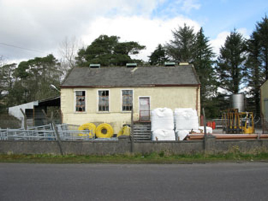 Togher Creamerycreamery · 1.5 mi
 Fulacht fia in Tullagh (carbery East (w.d) By.)Fulacht fia · 1.5 mi
 Funmanway Adventure LandHeritage attraction · 1.7 mi
 Mount GunneryMountain / peak · 1.9 mi
 Gortnahoughtee Mass RockNamed rock · 2.6 mi
 Graveyard in Dunmanway NorthGraveyard · 3.2 mi
 Dunmanway Heritage CentreVisitor information · 3.3 mi
 Castle (Site of)Castle, Anglo-Norman masonry castle · 3.4 mi
 Mount ProspectMountain / peak · 3.5 mi