What is recorded here
Internal diam. 27.5m NE-SW, c. 24m NW-SE
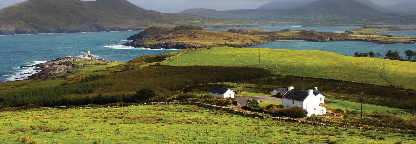
Situated on a plateau on the lower NW slopes of Coolroe mountain, this poorly preserved univallate rath overlooks Dingle Bay to N. The enclosing bank and fosse are extant only from S to NW, and elsewhere the outline of the site is barely traceable. The extant portion is densely overgrown and the fosse, 1.5m wide, is partially infilled. The bank is composed of earth, with a large mixture of small stones, and large slabs flank sections of its inner face. It has an external height of 1.8m and averages 1.75m wide. The interior of the site has been raised at N to compensate for the slope in the land and measures .8m above external ground level here.
The above description is derived from A. O'Sullivan and J. Sheehan (compilers), 'The Iveragh peninsula: an archaeological survey of South Kerry'. Cork University Press (1996), no. 495. In certain instances the entries have been revised and updated in the light of recent research.
Date of upload: 28 July 2013
A local fairy fort (ringfort/rath); wider significance not recorded.
The monument record does not grant public access. Check the route and ask the landowner before entering private land.
- What survives
- Recorded monument
Places near here
 R.C. Chapel (in Ruins)Church · 849 yd
 Gowlane R.C. Chapel (in Ruins)Church · 1444 yd
 ToberykeelHoly well · 1557 yd
 Grave Yd.Graveyard · 1.0 mi
 LaghtsheeMountain / peak · 1.1 mi
 SeefinMountain / peak · 1.6 mi
 Rossbeigh BeachBeach / strand · 2.5 mi
 Mountain StageViewpoint · 3.7 mi
 Lough Nambrackdarrig Nature ReserveNature reserve · 3.8 mi
 Kerry Bog VillageHeritage attraction · 3.8 mi
 FeaklecallyHeadland · 4.6 mi
 Lough Yganavan Nature ReserveNature reserve · 4.6 mi