What is recorded here
Marked as a small enclosure on the first edition of the OS maps, this site is located in boggy pasture a short distance SW of Derriana Lough. It survives as an approximately circular field, as indicated on the second edition, with clear traces of the original enclosure visible beneath the boundary at S. Here upright slabs and stones, set on edge, revet the 1.4m thick wall externally. The wall survives to an average height of .5m. The area enclosed, which presumably reflects the original dimensions of the enclosure, measures 15m N-S x 14m E-W. The interior is traversed by a series of cultivation ridges (KE090-004----).
The above description is derived from A. O'Sullivan and J. Sheehan (compilers), 'The Iveragh peninsula: an archaeological survey of South Kerry'. Cork University Press (1996), no. 727. In certain instances the entries have been revised and updated in the light of recent research.
Date of upload: 29 July 2013
The monument record does not grant public access. Check the route and ask the landowner before entering private land.
- What survives
- Recorded monument
Places near here
 Cultivation ridges in Cois ChomarachCultivation ridges · 1 yd
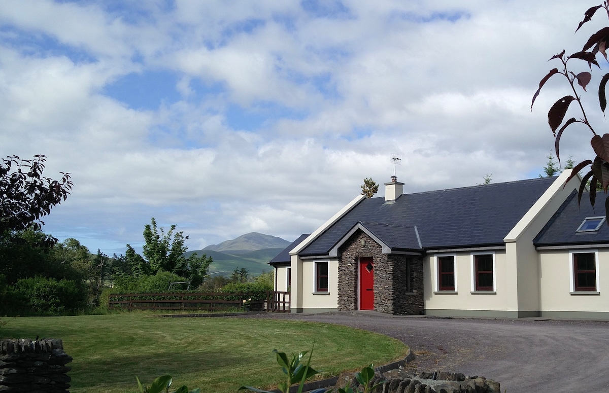 Hut site in Cois ChomarachHut site · 118 yd
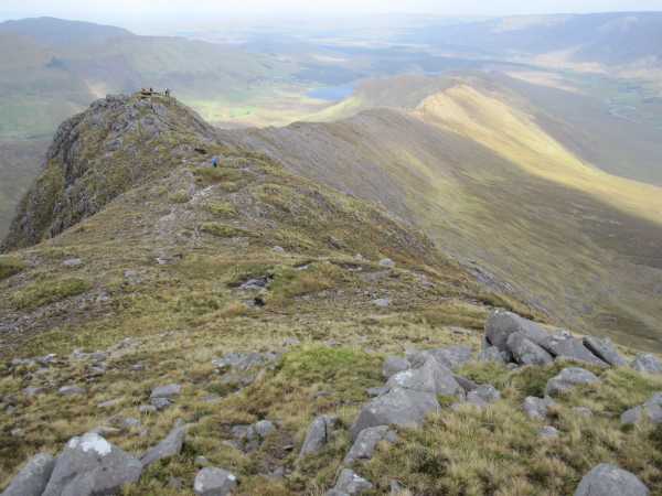 An Bhinn LáirMountain / peak · 2.1 mi
 Beann na StiocairíMountain / peak · 2.7 mi
 Scoil Náisiúnta Máistir Gaoithe [Mastergeehy National School]school · 2.8 mi
 Dromod Church (in Ruins)Church · 4.3 mi
 An PlaoscHeadland · 4.9 mi
 2Cliff · 5.0 mi
 Short Castle (Site of)Castle, unclassified · 5.9 mi
 De Gaulle MemorialMonument · 6.7 mi
 Sneem Commemoration PlaqueMemorial · 6.8 mi
 CastleCastle, tower house · 6.8 mi