What is recorded here
In pasture, located on a low natural elevation, bordered to E and S by an expanse of lowlying boggy ground. Raised circular area (25m N−S; c. 27m E−W) defined at S−SW and NW−NNE by remnant of an earthen bank (Wth 4m; int. H 0.35m; ext. H 1.8m at S), reduced elsewhere to a scarp (H 1.3m at E), and enclosed externally by traces of a fosse and outer bank. The inner bank has a pronounced, steep external slope but retains only a low internal lip. A section (L 10m) of the scarp at NNE−E has been partly levelled and graded to a low ramp to allow easier access to the interior, and this appears to conceal the most likely site of the original entrance. There is a clearly defined section of fosse (Wth c. 3m) at S−SW, bordered externally by a bank (Wth c. 3m; int. H 0.8m; ext. H 0.6m). Here, a narrow berm (Wth c. 2m) intervenes between the base of the inner bank and the fosse but it is unclear to what extent this is original. It is also unclear as to whether this section of fosse, which is largely engulfed in brambles, may have been disturbed in the recent past. Elsewhere around the circuit, the fosse and external bank are evident only as a very slight surface depression bordered by a slight external rise or cropmark.
Compiled by: Jane O’Shaughnessy
Date of upload: 17 June 2016
The monument record does not grant public access. Check the route and ask the landowner before entering private land.
- What survives
- Recorded monument
Places near here
 Rathroe CastleCastle · 823 yd
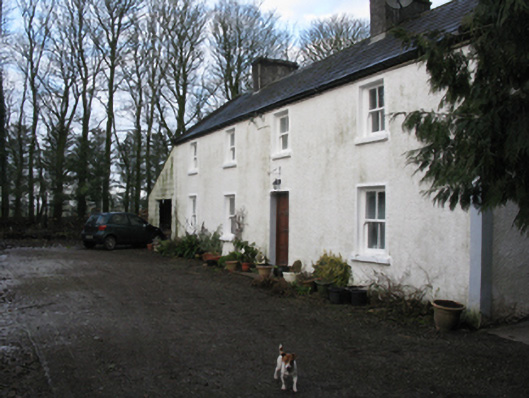 Doonanarroo Housefarm house · 1163 yd
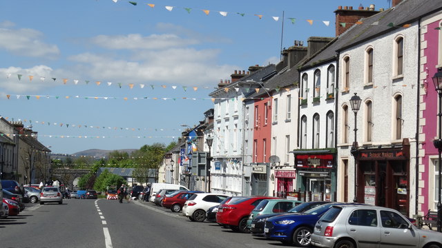 RathnagowlaFairy fort / earthen ringfort · 1742 yd
 RathmeelFairy fort / earthen ringfort · 1.0 mi
 Carn Castle (in Ruins)Castle, unclassified · 1.2 mi
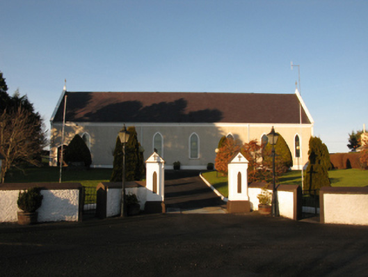 Catholic Church of the Sacred Heartchurch/chapel · 1.2 mi
 Lisheen Grave YardArchaeological place · 3.9 mi
 Battle of Killalabattle · 4.7 mi
 Green IslandIslet · 5.2 mi
 TrabaunBeach / strand · 6.6 mi
 Grave of the KingsArchaeological place · 8.1 mi
 Castle IslandIslet · 8.8 mi