What is recorded here
In pasture, encloses much of the level space on top of the E end of a small low ridge or hill. A subrectangular area (c. 29m ENE-WSW; c. 27m NNW-SSE) defined by on low sod-covered stone bank or wall. The remnants of the wall are best defined on W and N sides. On E they are incorporated into remnants of a field boundary and on S merge with the natural slope of the hill. The graveyard encloses relatively level but uneven ground on top of the hill. In the N half there is a ruined medieval church (MA112-034----). A small roughly rectangular feature defined by stones and slabs in the S half of the graveyard may be the remains of a grave. Several low stones protruding randomly from the sod may represent grave markers. A Man-made underground passage (MA112-034002-) is located 12m to W of the graveyard, incorporating into the W boundary of the field.
Compiled by: Jane O’Shaughnessy
Date of upload: 24 June 2013
The monument record does not grant public access. Check the route and ask the landowner before entering private land.
- What survives
- Recorded monument
Places near here
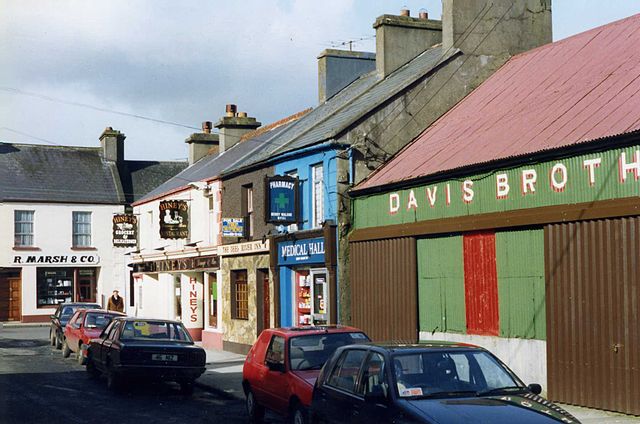 IndicatedEnclosure · 1111 yd
 Enclosure in Lisduff (clanmorris By., Crossboyne Par.)Enclosure · 1363 yd
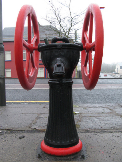 water pumpwater pump · 1.1 mi
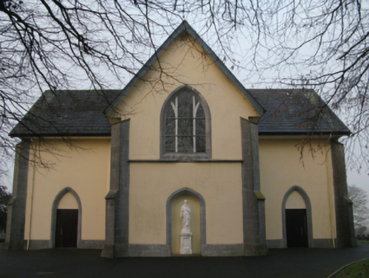 Saint Joseph's Catholic Churchchurch/chapel · 1.2 mi
 CastleCastle, unclassified · 1.4 mi
 Oak WoodForest · 2.3 mi
 Castlekeel (in ruins)Castle, unclassified · 2.4 mi
 Geoffrey's WoodForest · 3.0 mi
 Land of the GiantsHeritage attraction · 4.5 mi
 Mass RockNamed rock · 9.6 mi
 Enclosure in Ballindine WestEnclosure · 1449 yd
 Enclosure in WoodstockEnclosure · 1486 yd