What is recorded here
In pasture, partly converted to forestry, located on a low ridge with a gradual fall of ground for c. 80m to NW towards the River Moy. A ‘Fording and Ferry’ point on the river is marked on the 1837 OS 6-inch map to NW. A natural basin of boggy land lies c. 300m to E–SE, much of which is planted with forestry. There is a rath (MA061-111001-) c. 240m to NNW on the opposite side of the river.
Roughly circular, slightly raised area (33m NNW–SSE) defined by an earthen scarp (Wth slope 3-4m; ext. H 1.5m at NE and SW, 0.8m at SSE). The rath is bisected roughly centrally by a field fence/property boundary on a NNW–SSE axis. To E of the fence, the rath is largely grass covered, with hawthorn and hazel around the perimeter; to W of the fence, the rath is engulfed in impenetrable blackthorn, and the surrounding field is planted with conifers to within 1m of the rath.
The enclosing scarp is generally well defined; it is enhanced on the N half by the natural fall of ground, and is slightly lower and less pronounced at E–SE. A low eroded area (Wth c. 2m) in the scarp at E, flanked by large stones on the N side, may mark an original entrance.
The interior is level. Roughly in the centre of the E half, abutting the E side of the bisecting field fence, there is a low, D-shaped platform (8.5m N–S; 4m E–W to fence), which may be the remains of a circular hut site (MA062-027003-). A Man-made underground passage (MA062-017002) is indicated on the 1837 OS 6-inch map in the N half of the rath, where it is shown as a small circular feature annotated ‘Cave’.
Compiled by: Jane O’Shaughnessy
Date of upload: 25 November 2020
The monument record does not grant public access. Check the route and ask the landowner before entering private land.
- What survives
- Recorded monument
Places near here
 IndicatedFairy fort / earthen ringfort · 982 yd
 Enclosure in BlackpatchEnclosure · 1096 yd
 HawthornHawthorn · 1653 yd
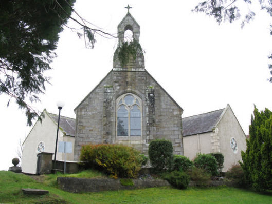 All Saints' Catholic Churchchurch/chapel · 1.1 mi
 bridgebridge · 1.2 mi
 Castle (in Ruins)Castle, unclassified · 1.3 mi
 Hennigan's Heritage CentreHeritage attraction · 1.4 mi
 Procession Of The SoulsMemorial · 1.5 mi
 Youth Memorial GardenMemorial · 1.5 mi
 Brabazon WoodsForest · 1.8 mi
 Thorn CaveCave · 4.9 mi
 Bawn in ToomoreBawn · 5.1 mi