What is recorded here
Indicated is a vanished ringfort on a Mayo knoll, visible only in old maps and aerial shadows. Ploughs and patience erased the banks, but the land still holds the shape of human ambition.
In pasture, crowning a knoll at the S end of low N–S ridge, with excellent views in all directions.
This rath has been levelled. It is shown on the 1837 and 1930 OS 6-inch maps as a roughly circular enclosure. The 1930 edition shows a fosse and an external bank, which is incorporated into a field boundary, enclosing the W half. Current aerial views suggest that it is enclosed by two external banks with intervening fosses. No visible trace at ground level.
Compiled by: Jane O’Shaughnessy
Date of upload: 16 April 2018
This remains an important historical record, but the official description says the monument is no longer visible or has been destroyed. The monument record does not grant public access. Check the route and ask the landowner before entering private land.
- What survives
- No visible remains or recorded as destroyed
Places near here
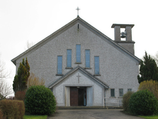 Catholic Church of Our Lady of the Assumptionchurch/chapel · 1341 yd
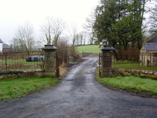 Rappa Castlegates/railings/walls · 1693 yd
 RathnamuffFairy fort / earthen ringfort · 1734 yd
 IndicatedEnclosure · 1.1 mi
 Deel CastleCastle · 1.2 mi
 CastleCastle, tower house · 1.3 mi
 Battle of Ballinabattle · 3.7 mi
 Castle IslandIslet · 4.3 mi
 Roe IslandIslet · 4.3 mi
 Belleek WoodsWood · 4.5 mi
 FloretteWreck · 4.8 mi
 Rinphilip PointHeadland · 5.0 mi