What is recorded here
On a hill summit in rolling farmland, some 400m SE of the Dalgin River. Subcircular enclosure (N-S 170m, E-W 140m), in fair condition, defined by an earthen bank and external fosse. The bank is present from SE through S to WNW; elsewhere a scarp forms the enclosing element. The fosse is best preserved from SE through S to SW; elsewhere a stream flows around the monument. In NE quadrant of the interior is a church (GA004-002----) and a CBG (GA004-002001-).
The above description is derived from the published 'Archaeological Inventory of County Galway Vol. II - North Galway'. Compiled by Olive Alcock, Kathy de hÓra and Paul Gosling (Dublin: Stationery Office, 1999).
Date of upload: 05 August 2010
The monument record does not grant public access. Check the route and ask the landowner before entering private land.
- What survives
- Recorded monument
Places near here
 Church in ruinsChurch · 38 yd
 IndicatedEnclosure · 1217 yd
 Enclosure in CreevardEnclosure · 1661 yd
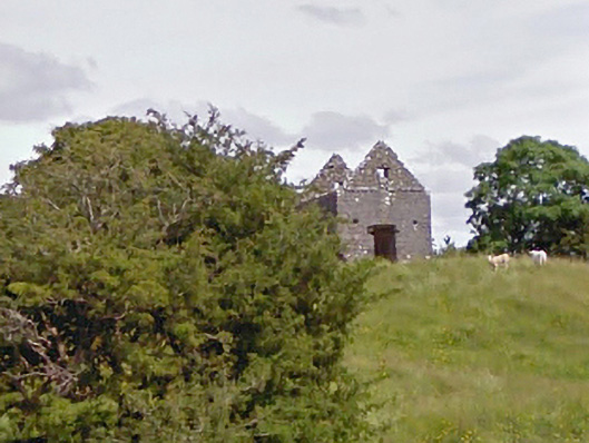 aviary/dovecote/pigeon houseaviary/dovecote/pigeon house · 1.0 mi
 Dunmore CastleCastle · 3.7 mi
 Bawn in Kilcloony (dunmore By.)Bawn · 4.7 mi
 European ashEuropean ash · 8.4 mi
 Mass RockNamed rock · 9.8 mi
 European YewEuropean Yew · 11 mi
 ListeigeArchaeological place · 1738 yd
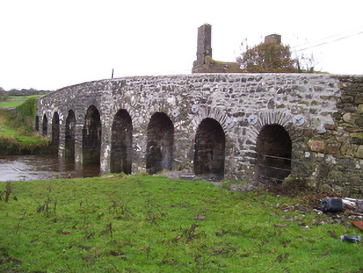 Doonmacreena Bridgebridge · 1.3 mi
 Enclosure in Knockadoon (clanmorris By.)Enclosure · 1.4 mi