What is recorded here
In undulating pasture. Shown on OS map (1838) as circular enclosure with irregular-shaped structure ajoining S side. Consists of raised platform (61m N-S; 30m E-W) with possible remains of hut site. Field system (567) to S.
The above description has been derived from D. Lavelle (compiler), An Archaeological Survey of Ballinrobe and District including Lough Mask and Lough Carra. Lough Mask and Lough Carra Tourist Development Association (1994), No. 340.
Date of upload: 30 October 2013
A local fairy fort (ringfort/rath); wider significance not recorded.
The monument record does not grant public access. Check the route and ask the landowner before entering private land.
- What survives
- Recorded monument
Places near here
 Enclosure in ClooncormickEnclosure · 81 yd
 Clooncormick Housewalled garden · 866 yd
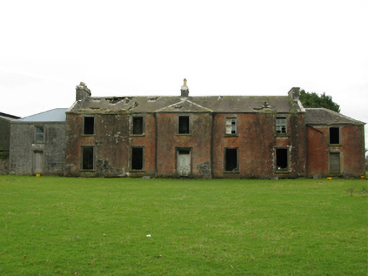 Kilrush Houseschool · 1209 yd
 IndicatedFairy fort / ringfort · 1.0 mi
 SycamoreSycamore · 1.3 mi
 Cloonagashel CastleCastle · 1.4 mi
 Bunacrower CastleCastle · 1.7 mi
 Dormbeg Island NorthIslet · 4.5 mi
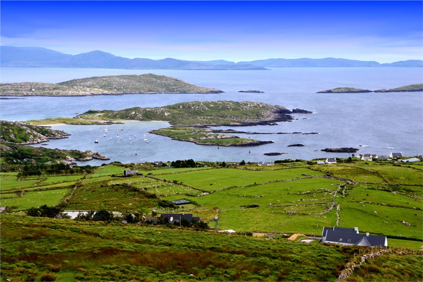 illanatrim islandIslet · 4.5 mi
 European ashEuropean ash · 4.5 mi
 Kiltoom PointHeadland · 5.6 mi
 Moore Hall Forest TrailWalking route · 6.0 mi