What is recorded here
On the crest of a low rise, at the SW side of Kesh Corann Hill. Described in 1995 (pers. comm. M. Keane and J. Farrelly) as having a flat interior enclosed by a broad earthen bank (Wth 5.8m; int. H 0.7m; ext. H 0.8m) with a gentle external slope and a steep internal slope. The overall diameter was 14m NW-SE. A gap (Wth 1.8m) was noted at E. Some stone retaining the internal face of the bank and the planting of trees may indicate re-use as a landscape feature. (Farrelly and Keane 2002, 98)
The above description is derived from the published 'Archaeological Inventory of County Sligo' compiled by Ursula Egan, Elizabeth Byrne, Mary Sleeman with Sheila Ronan and Connie Murphy (Dublin Stationery Office, 2005).
Date of upload: 18 January 2008
The monument record does not grant public access. Check the route and ask the landowner before entering private land.
- What survives
- Recorded monument
Places near here
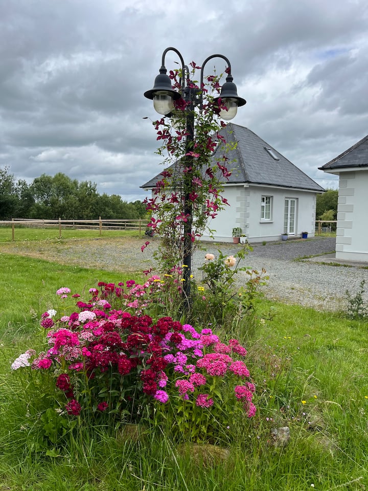 Enclosure in Cloonagh (corran By.)Enclosure · 711 yd
 Caves of KeshCave · 763 yd
 TobernacartaHoly well · 813 yd
 Kesh CorannMountain / peak · 1371 yd
 Church (in Ruins)Church · 1376 yd
 Bothar an Corann or Bothar na SlieveRoad, road/trackway · 1403 yd
 School CaveCave · 1.3 mi
 Treanscrabbagh caveCave · 2.3 mi
 Bricklieve Castle (in Ruins)Castle, unclassified · 2.4 mi
 Bricklieve MountainsMountain / peak · 2.9 mi
 Castle BaldwinCastle · 3.7 mi
 Brother WalfridMemorial · 3.8 mi