What is recorded here
Indicated was a thirty-metre fairy fort in County Mayo pasture, its earthen bank standing one and a half metres high on the eastern side when last seen in 1957. By the 1990s, heavy traffic or human impatience had erased the ring into featureless flat grass, leaving only a faint western shadow of what the land once held. The fort did not vanish through age or storm, but through the ordinary human belief that ancient shapes must yield to modern ease.
In pasture, with a gently fall of ground to N. When inspected in 1957, this rath, shown on the 1838 and 1929 OS 6-inch maps as an embanked subcircular enclosure, consisted of a slightly raised circular area (diam. c. 30m) defined by an earthen bank (Wth 1.5-2m; int. H 0.5-1m; ext. H 1-1.5m, 1.8m at E). Inspected again in the 1990’s, it was found to have been leveled to a featureless, flat area, with slight remnants of a leveled bank discernible at W (Morahan, 1996, 44).
Compiled by: Jane O'Shaughnessy
Date of upload: 7 February 2018
The monument record does not grant public access. Check the route and ask the landowner before entering private land.
- What survives
- Recorded monument
Places near here
 Castle LucasCastle · 622 yd
 IndicatedFairy fort / earthen ringfort · 961 yd
 Doonamona CastleCastle · 1171 yd
 Lisblowick FortArchaeological place · 1174 yd
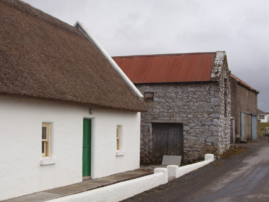 John Maddenfarm house · 1248 yd
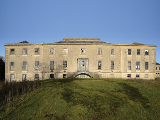 Ballinafad Housecountry house · 1539 yd
 Cerberus, from Thomastown HouseMemorial · 2.3 mi
 Lady's IslandIslet · 3.6 mi
 Bird IslandIslet · 3.8 mi
 Ballintubber AbbeyHeritage attraction · 3.8 mi
 French Hill MonumentMemorial · 4.0 mi
 Redgate ParkWood · 4.0 mi