What is recorded here
In rough, bracken-covered pasture, located at the base of a steep N-facing slope overlooking Lough Mask. Indicated on the 1838 and the 1920 editions of the OS 6-inch map. This enclosure consists of a D-shaped area (int. 13m E-W; 8m N-S) defined by a drystone wall (Wth 0.4m; H 0.6-1.1m). A field inspection determined that it is most likely to be an enclosure for farm stock associated with a 19th-century settlement.
Compiled by: Jane O'Shaughnessy
Date of upload: 14 July 2015
The monument record does not grant public access. Check the route and ask the landowner before entering private land.
- What survives
- Recorded monument
Places near here
 Wild Duck IslandIslet · 795 yd
 Round IslandIslet · 1163 yd
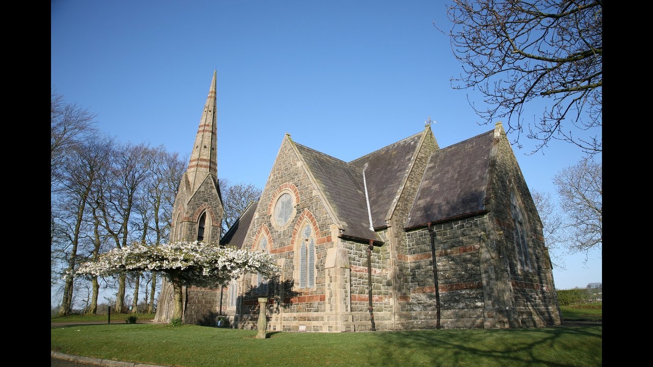 Kilbride Church (Site of)Church · 1168 yd
 TobermurryHoly well · 1265 yd
 Doon RockNamed rock · 1.1 mi
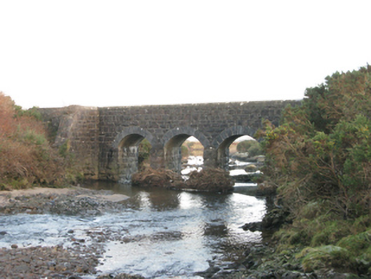 bridgebridge · 1.1 mi
 Runnet HillMountain / peak · 2.5 mi
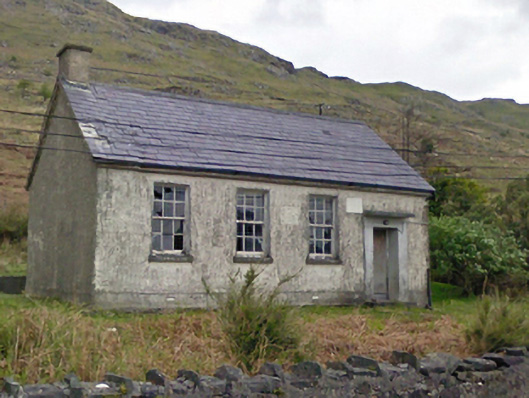 Finny National Schoolschool · 2.5 mi
 Ballindeonagh Castle (in ruins)Castle, unclassified · 2.9 mi
 Binn ShléibheMountain / peak · 3.8 mi
 Coill na FaircheWood · 4.2 mi
 CarrigeenbaunNamed rock · 4.2 mi