What is recorded here
Circa 80m to S of a similar monument (GA061-035----). Marked on OS 6-inch maps as a roughly circular tree-planted enclosure. All that now survives is a very poorly preserved circuar enclosure (D c. 30m) cut across from N to S by a modern field wall. To E of this wall, the enclosure is defined by a low scarp, while to W, a curving band of vegetation may mark the line of a fosse. The interior has been cleared of trees.
The above description is derived from the published 'Archaeological Inventory of County Galway Vol. II - North Galway'. Compiled by Olive Alcock, Kathy de hÓra and Paul Gosling (Dublin: Stationery Office, 1999).
Date of upload: 05 August 2010
The monument record does not grant public access. Check the route and ask the landowner before entering private land.
- What survives
- Recorded monument
Places near here
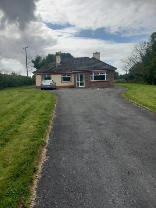 Country house in Castlegar EastCountry house · 545 yd
 Castlegarfarmyard complex · 652 yd
 LismoneyForest · 872 yd
 IndicatedEnclosure · 903 yd
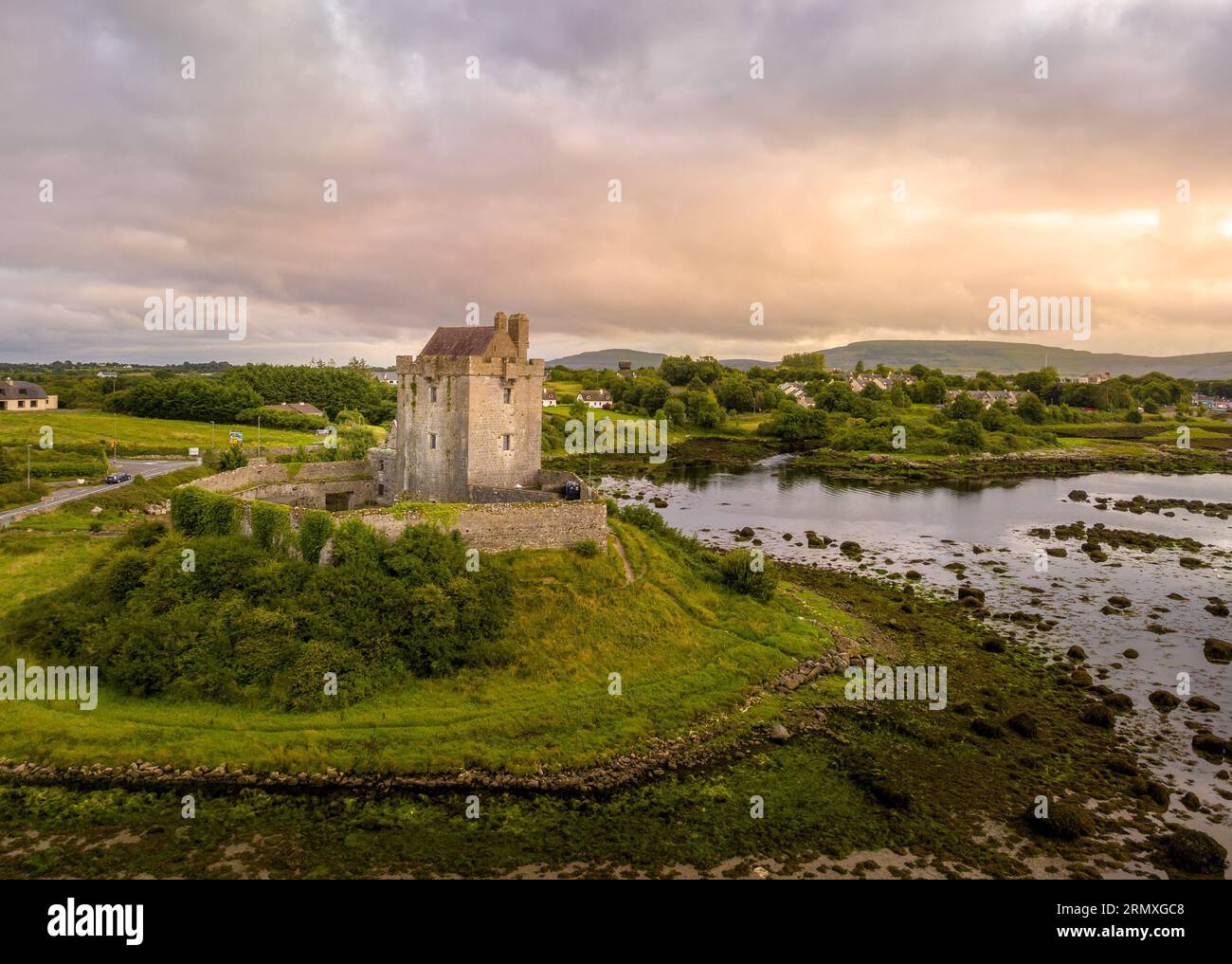 LisnarnooFairy fort / ringfort · 1344 yd
 European ashEuropean ash · 2.6 mi
 Killure Castle (in ruins)Castle, tower house · 2.8 mi
 Clooncoran IslandIsland · 3.0 mi
 Clonbrock CastleCastle, tower house · 3.7 mi
 Inch IslandIsland · 3.8 mi
 Kilconnell AbbeyHeritage attraction · 6.6 mi
 Battle of Aughrim Interpretative CentreMuseum · 7.1 mi