What is recorded here
On the summit of a rocky hillock in grassland. Poorly preserved circular cashel (diam. 38m) defined by a collapsed drystone wall overlain throughout by a field wall.
Compiled by: Galway Archaeological Survey, UCG
Date of upload: 15 September 2017
The monument record does not grant public access. Check the route and ask the landowner before entering private land.
- What survives
- Recorded monument
Places near here
 Mountvernon CottageHouse, 18th/19th century · 1531 yd
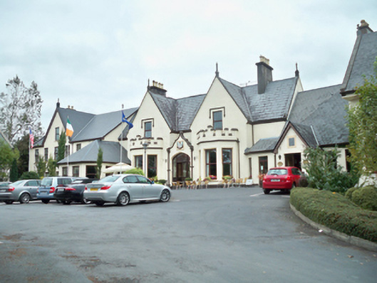 Oranmore Lodgehouse · 1541 yd
 Castle (in Ruins)Castle, tower house · 1689 yd
 Site of Castle ParkanassaCastle, unclassified · 1.1 mi
 Road of the Old HagArchaeological place · 1.3 mi
 Enclosure in RoscamEnclosure · 1.4 mi
 Aunteen WoodsWood · 1.5 mi
 Uncleen WoodsWood · 1.7 mi
 Leadmine HillMountain / peak · 2.2 mi
 Rabbit IslandIslet · 2.6 mi
 Ballyloughane BeachBeach / strand · 2.8 mi
 Royal Tara Visitor CentreHeritage attraction · 2.8 mi