What is recorded here
In grassland. Cropmark of circular-shaped earthwork (diam. c. 58m) visible as a grove of trees on Google Earth orthoimages and Digital Globe orthoimage taken between 2011-13.
See attached Google Earth orthophoto taken 22/04/2019 and Lidar image of site without tree cover
Compiled by: Caimin O'Brien based on details provided by Jean-Charles Caillère
Date of upload: 11 July 2022
The monument record does not grant public access. Check the route and ask the landowner before entering private land.
- What survives
- Recorded monument
Places near here
 IndicatedFairy fort / earthen ringfort · 716 yd
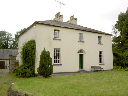 Rathcline Glebe Houserectory/glebe/vicarage/curate's house · 1060 yd
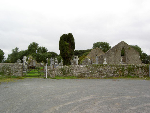 church/chapelchurch/chapel · 1384 yd
 Cross in Glebe (rathcline By., Rathcline Ed)Cross · 1390 yd
 Rathcline CastleBawn · 1.1 mi
 White Sand WoodWood · 1.4 mi
 Goat's IslandIslet · 1.6 mi
 Bushy IslandIslet · 1.7 mi
 Wild birdsVisitor information · 2.0 mi
 Commons North WalkVisitor information · 2.3 mi
 Caltragh CastleCastle, unclassified · 3.2 mi
 Cruit BayBay · 4.1 mi