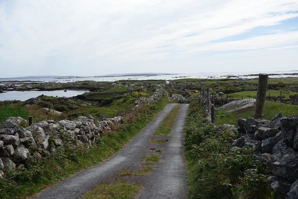
What is recorded here
In gently rolling pastureland and rock outcrop. Poorly preserved subcircular cashel (33.7m N-S; 31m E-W) defined by a collapsed drystone wall best preserved at SE. At N two orthostats, 0.7m apart, may mark the original entrance gap. A field wall cuts through the enclosing element at
W. (McCaffrey 1952, 167, no. 15)
Compiled by: Galway Archaeological Survey, UCG
Date of upload: 15 September 2017
The monument record does not grant public access. Check the route and ask the landowner before entering private land.
- What survives
- Recorded monument
Places near here
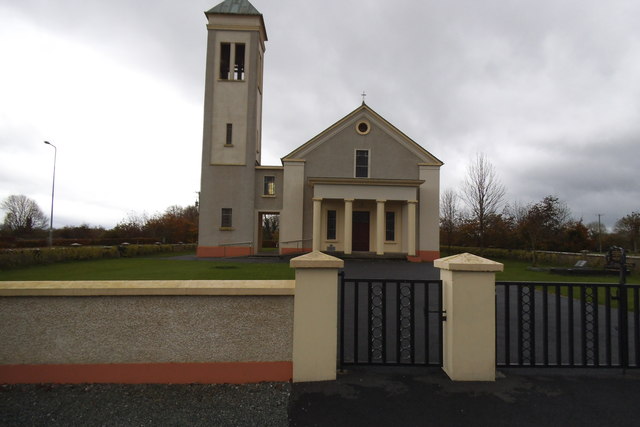 Catholic Church of the Immaculate Conceptionchurch/chapel · 1045 yd
 Badhbunmore Castle (in ruins)Castle, unclassified · 1109 yd
 Dunsandlegate lodge · 1129 yd
 Castle (in ruins)Castle, tower house · 1321 yd
 Enclosure in OldcastleEnclosure · 1.1 mi
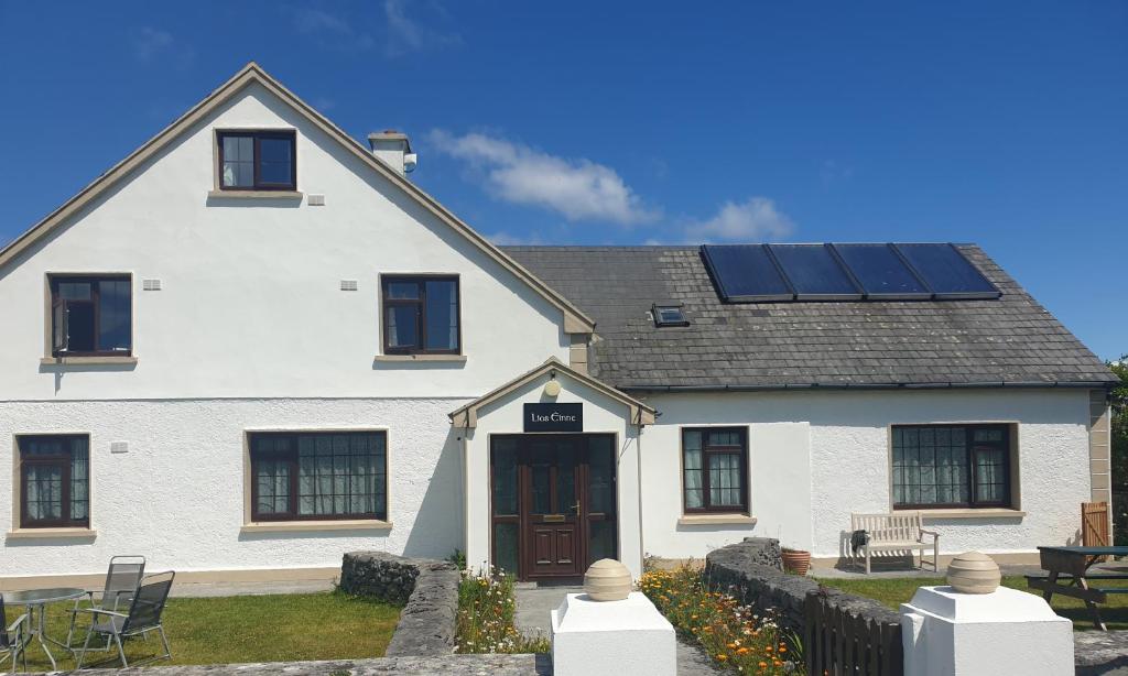 Lios na GalFairy fort / earthen ringfort · 1.1 mi
 Moyard WoodWood · 2.3 mi
 Turoe StoneHeritage attraction · 3.9 mi
 Athenry AbbeyHeritage attraction · 4.7 mi
 Blake's IslandIslet · 5.0 mi
 Horse-chestnutHorse-chestnut · 5.1 mi
 Barrack IslandIslet · 5.2 mi
Other information
Photo: Credit not shown in the picture search · Rights wording not checked; contact us if this picture should be removed