What is recorded here
Indicated is a possible ringfort in County Mayo, marked by a low earthen bank and a raised subcircular area about twenty-six metres across. A stone field fence cuts through the middle, dividing the ancient shape into two living pasture fields. The earth may have served people long before the fence, while the fence now serves the fields and reminds everyone that the old circle still stands beneath ordinary use.
In pasture, on E-facing slope. Raised subcircular area (diam. 26m N-S) enclosed by low earthen bank (H 0.2m); levelled S to N. Stone field fence bisects site, N-S. Possibly a ringfort.
The above description has been derived from D. Lavelle (compiler), An Archaeological Survey of Ballinrobe and District including Lough Mask and Lough Carra. Lough Mask and Lough Carra Tourist Development Association (1994), No. 418.
Date of upload: 1 February 2013
The monument record does not grant public access. Check the route and ask the landowner before entering private land.
- What survives
- Recorded monument
Places near here
 IndicatedFairy fort / earthen ringfort · 251 yd
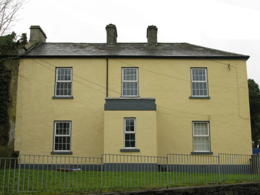 Ballyglass Garda Síochána Stationgarda station/constabulary barracks · 916 yd
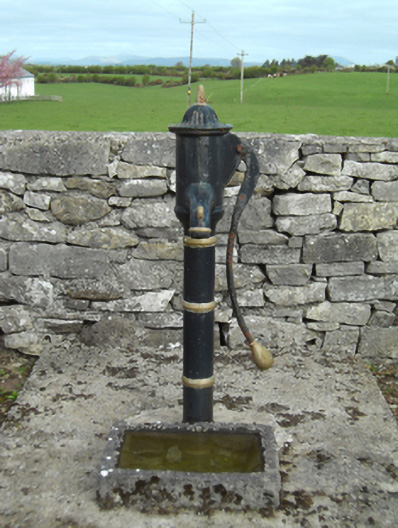 water pumpwater pump · 931 yd
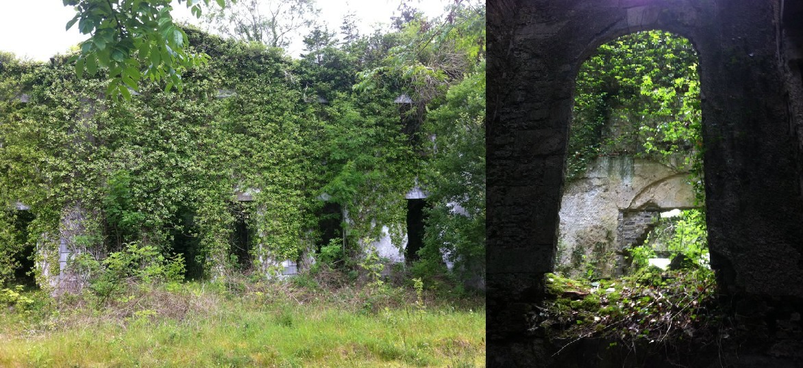 Enclosure in Towerhill DemesneEnclosure · 1156 yd
 Bawn in BellanaloobBawn · 1.9 mi
 Castle LucasCastle · 1.9 mi
 Moore Hall Forest TrailWalking route · 2.6 mi
 Cerberus, from Thomastown HouseMemorial · 2.8 mi
 Moore Hall ForestForest · 2.8 mi
 Creevagh IslandIslet · 2.9 mi
 Connors IslandIslet · 2.9 mi
 Kiltoom PointHeadland · 3.1 mi