What is recorded here
Indicated is a stone-ringed fort in County Mayo, Ireland, where a hidden chamber may still breathe beneath the grass. The bank stands tall enough to block the sky at certain hours, yet the eastern edge has worn thin as if the earth forgot its own shape. A square hollow opens in the north-west, holding a flat slab and a shadow that does not match the daylight. Two other raths watch from the southeast, suggesting a line of witnesses rather than a lonely house.
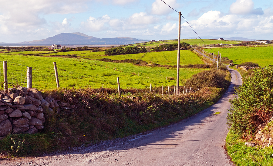
In pasture, located on a rise in undulating terrain, with a stream/drain 100m to S. A N−S road borders the NW side of the field, a few meters NW of the rath.
Raised circular area (26.4m E−E; 27m N−S) enclosed by a stony earthen bank. The bank (Wth 3.7m at NNW, 2.8m at SSE; int. H 0.3m; ext. H 1.55m NNW, 0.75m at SSE) has a low internal face, especially on the E arc, where it is reduced almost to a scarp; there are several areas of erosion by farm stock. A gap (Wth c. 1.7m) at SE, now partly blocked at its outer edge by a heap of field clearance debris, may be the location of an original entrance.
The interior slopes down slightly to SSE. In the NW quadrant, there is a roughly square hollow (2m NW−SE; 2m NE−SW; D 0.3m), with a flat slab (L c. 1m; Wth 0.5m) protruding from the beneath the sod on the SE side. The hollow is bordered on the N side by a sod-covered heap (2m NE−SW; 1.5m NW−SE; H 0.4m) of stony soil, which appears to be upcast soil from the hollow, suggesting relatively recent disturbance. A very slight surface depression (Wth c. 1.5m) extends for c. 5m from the hollow to the inner face of the enclosing bank at NNW. These features might be indicative of a Man-made underground passage, but there is no definitive proof.
Grass cover, with moderate hawthorn and blackthorn on the perimeter at SE−S. Low heaps of field clearance stones are piled against the external face of the bank on the SE−S arc. There are two raths (MA040-023----; MA040-024----) 200m and 350m to SE, respectively, both visible from this rath.
Compiled by: Jane O’Shaughnessy
Date of upload: 13 May 2020
The monument record does not grant public access. Check the route and ask the landowner before entering private land.
- What survives
- Recorded monument
Places near here
 IndicatedFairy fort / earthen ringfort · 828 yd
 Church in KilgarvanChurch · 1275 yd
 Penitential station in Ellagh BegPenitential station · 1389 yd
 Enclosure in CarrowcromEnclosure · 1.1 mi
 KnockasliggaunMountain / peak · 3.3 mi
 Belleck CastleCastle, unclassified · 4.4 mi
 Largan HillMountain / peak · 4.5 mi
 Humbert MonumentMemorial · 4.7 mi
 FloretteWreck · 4.8 mi
 The Marshall Doran CollectionGallery · 4.9 mi
 Belleek WoodsWood · 5.0 mi
 CastleCastle, unclassified · 5.2 mi