What is recorded here
Indicated is a fairy fort or earthen ringfort in Carrownloughan, County Sligo, Ireland. It occupies undulating pasture where the ground slopes west and northwest from a raised circular area measuring thirty-point-four metres northeast-southwest. An eroded earthen bank defines much of the perimeter, leaves an eight-metre gap northeast, and borders an external fosse that ends at a quarry pit northwest. Cattle have heavily poached the level interior, which also contains a hut site and a man-made underground passage.
In undulating pasture; the ground slopes away from the rath to W and NW. A raised circular area (30.4m NE-SW) defined by an earthen bank (Wth 4.5m; int. H 0.3m; ext. H 1.2m) NNE-S and W-NW and by a scarp elsewhere. The bank, which is generally eroded, has a low internal lip and a gap (Wth 8m) at NNE. The external fosse, which is evident all round apart from NW-NNE, is partially infilled NNE-S (Wth 3.3m; D 0.3m), disturbed S-SW and possibly recut W-NW (Wth 1.8m; D 0.6m). The fosse terminates at a quarry pit at NW. The interior is level and heavily poached by cattle. There is a hut site (SL025-095003-) in the SW quadrant and a Man-made underground passage (SL025-095002-) in the W half of the interior.
The above description is derived from the published 'Archaeological Inventory of County Sligo' compiled by Ursula Egan, Elizabeth Byrne, Mary Sleeman with Sheila Ronan and Connie Murphy (Dublin Stationery Office, 2005).
Date of upload: 18 January 2008
The monument record does not grant public access. Check the route and ask the landowner before entering private land.
- What survives
- Recorded monument
Places near here
 Enclosure in CarrowmurrayEnclosure · 1126 yd
 Hachured (1838).Fairy fort / earthen ringfort · 1127 yd
 KnocknasheeMountain / peak · 1.1 mi
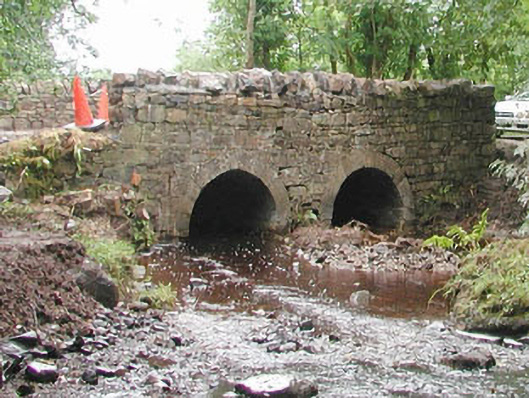 bridgebridge · 1.3 mi
 Carrowmore National Schoolschool · 1.3 mi
 CastleCastle, unclassified · 2.7 mi
 European ashEuropean ash · 3.5 mi
 Muckelty HillMountain / peak · 3.9 mi
 ElderElder · 4.0 mi
 The Turf Stack RockNamed rock · 4.6 mi
 Moymlough Castle (in Ruins)Castle, tower house · 5.1 mi
 Ballinlig PointHeadland · 7.8 mi