What is recorded here
Indicated is a fairy fort or stone ringfort in Carrownleam, County Sligo, Ireland. It occupies a circular area eighteen metres across where a collapsed stone wall still marks the boundary. Coniferous trees now fill the interior, which slopes gently downward toward the southwest.
In forestry, straddling a break of slope on the SW side of a low rise. A circular area (diam. 17m) enclosed by a collapsed stone wall (Wth 2m; int. H 0.35m; ext. H 0.2m). The interior, which slopes gently down to SW, is planted with coniferous trees. A possible cashel (SL025-043----) lies c. 190m to SSE.
The above description is derived from the published 'Archaeological Inventory of County Sligo' compiled by Ursula Egan, Elizabeth Byrne, Mary Sleeman with Sheila Ronan and Connie Murphy (Dublin Stationery Office, 2005).
Date of upload: 18 January 2008
The monument record does not grant public access. Check the route and ask the landowner before entering private land.
- What survives
- Recorded monument
Places near here
 IndicatedFairy fort / earthen ringfort · 413 yd
 ÌndicatedEnclosure · 665 yd
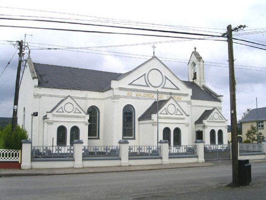 Catholic Church of the Sacred Heart and Saint Josephchurch/chapel · 668 yd
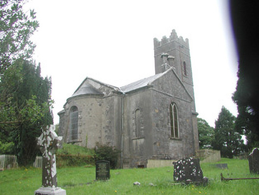 Killoran Churchchurch/chapel · 1473 yd
 Tullaghan HillMountain / peak · 2.2 mi
 DoomoreMountain / peak · 2.4 mi
 Moymlough Castle (in Ruins)Castle, tower house · 2.4 mi
 European ashEuropean ash · 3.2 mi
 ElderElder · 3.8 mi
 RinnatalleenHeadland · 4.2 mi
 Derinch PointHeadland · 4.4 mi
 CastleCastle, unclassified · 4.5 mi