
What is recorded here
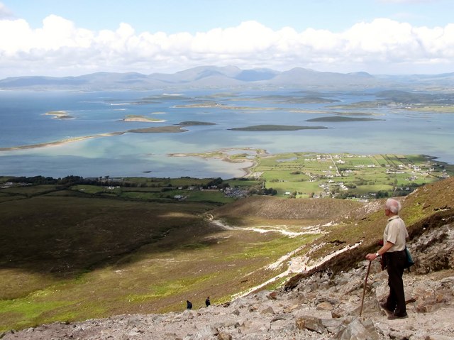
Located on a level blanket bog- and heather-covered terrace on the W shoulder of Croagh Patrick, at the intersection of four townlands. The location provides S-facing views, overlooking Lough Nacorra.
This possible enclosure encompasses a large subtriangular area (90m N–S; 95m E–W at S) with the narrow apex at N. No enclosing wall or bank is now evident, but a local traditional name, ‘Garraí Mór’, suggests that an enclosing element may once have existed. Its outline is defined now by a path or track worn by the feet of pilgrims following the traditional ‘Turas’ or pilgrimage route –this outline is recorded on the 1938 and 1920 OS 6-inch maps by a double dashed line, and is clearly visible in current aerial imagery.
The main focus of the ‘Turas’ here is the cluster of three cairns or penitential stations (MA087-043003-; MA087-043004-; MA087-043005-) located within the enclosure at its NW edge. The name ‘Roilig Mhuire’ (Mary’s cemetery), recorded on the OS 6-inch maps, hints at a more complex history: the cairns may be prehistoric burial sites, indicative of an ancient root to the religious significance of Croagh Patrick, later incorporated into a Christian context.
The 1838 OS Letters detail the ‘pattern’ or round of prayers, recording that, having completed the visit to the summit, the pilgrim ‘then descends by another precipitous path leading from the summit of the southwest extremity of the Cone or Cruach where the most important of the Penitential Leachts or Monuments is situated. It is called Roilig Mhuire i.e., the Virgin’s Cemetery, by some and Garrae Mor (Garraé) or Great Enclosure by others. It consists of three distinct circles at each of which the Pilgrim repeats seven Paters, seven Aves, and one Creed, and around each he travels on his knees seven times. The Turas or Pilgrimage is then finished.’ (O’Flanagan 1927, 217 (436-7)).
Compiled by: Jane O’Shaughnessy
Date of upload: 19 March 2020
The monument record does not grant public access. Check the route and ask the landowner before entering private land.
- What survives
- Recorded monument
Places near here
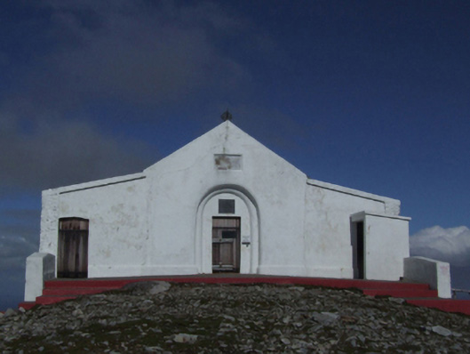 Saint Patrick's Catholic Oratorychurch/chapel · 648 yd
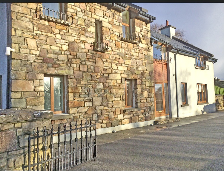 Enclosure in Teevenacroaghy,glaspatrickEnclosure · 676 yd
 Leaba PatrickMemorial · 685 yd
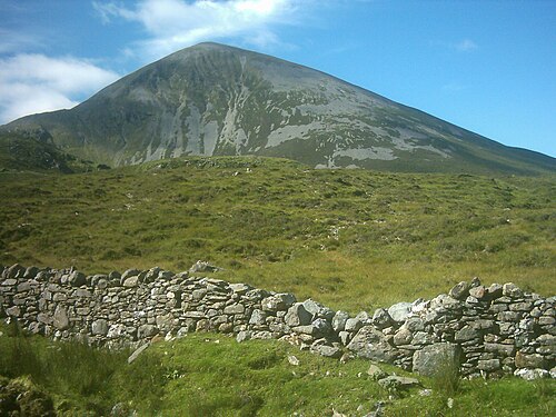 Croagh PatrickMountain / peak · 696 yd
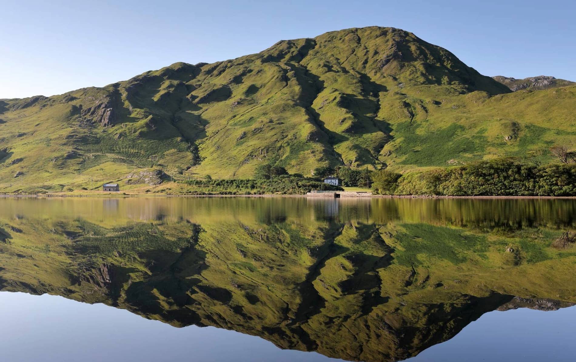 Leaght MionnainPenitential station · 1284 yd
 Ben GoramMountain / peak · 1384 yd
 Enclosure in GlencallyEnclosure · 1.1 mi
 Croagh Patrick Pilgrim TrailWalking route · 1.5 mi
 Croagh Patrick StablesHeritage attraction · 1.8 mi
 Crott MountainMountain / peak · 1.8 mi
 White StrandBeach / strand · 2.0 mi
 BunnatruffaBeach / strand · 2.0 mi
Other information
Photo: Credit not shown in the picture search · Rights wording not checked; contact us if this picture should be removed