What is recorded here
Indicated is a possible fairy fort in County Mayo, visible on the 1838 map but absent from later editions. It stands as a flat-topped oval rise, twenty-seven metres long, with a two-metre scarp merging into the natural slope and a straight field fence forming its eastern side. The disappearance from later maps suggests the land itself reabsorbed the boundary, leaving only the shape and the view west towards the stream valley.
In pasture, situated on a natural rise with a fall of ground S–NW giving excellent views to W towards a stream valley.
This possible rath is shown on the 1838 OS 6-inch map as a roughly D-shaped area (c. 25-30m N−S; c. 20m E−W) bordered on the straight E side by a field boundary; it is not shown on later map editions. Roughly oval, flat-topped raised area (22m E–W; 27m N-S) defined at SSW–N by a high, broadly sloping scarp (H 2m) which merges with the natural slope. The scarp is truncated on the E arc by a straight NNW–SSE field fence. This fence forms the E side of a rectilinear field which boxes in the rath.
Compiled by: Jane O’Shaughnessy
Date of upload: 25 June 2021
The monument record does not grant public access. Check the route and ask the landowner before entering private land.
- What survives
- Recorded monument
Places near here
 IndicatedEnclosure · 752 yd
 TemplerowuckChurch · 978 yd
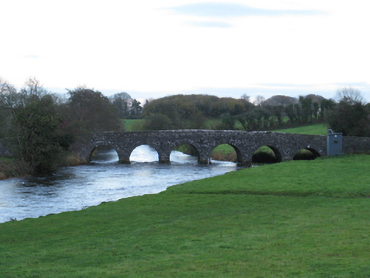 Scarrownageeragh Bridgebridge · 1017 yd
 Enclosure in AghawardEnclosure · 1601 yd
 Shonagawna Castle in RuinsCastle, unclassified · 1.0 mi
 Castle in ruinsCastle, tower house · 1.2 mi
 Michael DavittMemorial · 2.3 mi
 Admiral William BrownMemorial · 4.2 mi
 Foxford Woollen MillsHeritage attraction · 4.2 mi
 Thorn CaveCave · 4.4 mi
 Hennigan's Heritage CentreHeritage attraction · 4.9 mi
 HawthornHawthorn · 5.1 mi