What is recorded here
Indicated is a circular earthen ringfort in County Mayo pasture, its steep western scarp climbing two metres above the natural drop toward a nearby stream. The level interior holds no stones or marks, only grass and the memory of hands that shaped the land before written history. It stands as a quiet fortress of soil, watching the western sky while the eastern wall clips its edge like a forgotten boundary.
In pasture, located on an undulation with a natural fall of ground towards a stream c. 30m to W, and overlooked immediately to SSE by a rise. Views are quite good to W, but not extensive due to undulating nature of the landscape.
Roughly circular platform (22m N–S; 25.3m E–W) defined by a scarp (Wth slope 5.7m at NNW, 5.6m at S; H 2m at NNW, 1.2m at S), which is enhanced by the natural fall of ground to W. At E–SE the scarp is clipped by a NE–SW field wall. The interior is level and featureless.
Compiled by: Jane O’Shaughnessy
Date of upload: 25 June 2021
The monument record does not grant public access. Check the route and ask the landowner before entering private land.
- What survives
- Recorded monument
Places near here
 TemplerowuckChurch · 835 yd
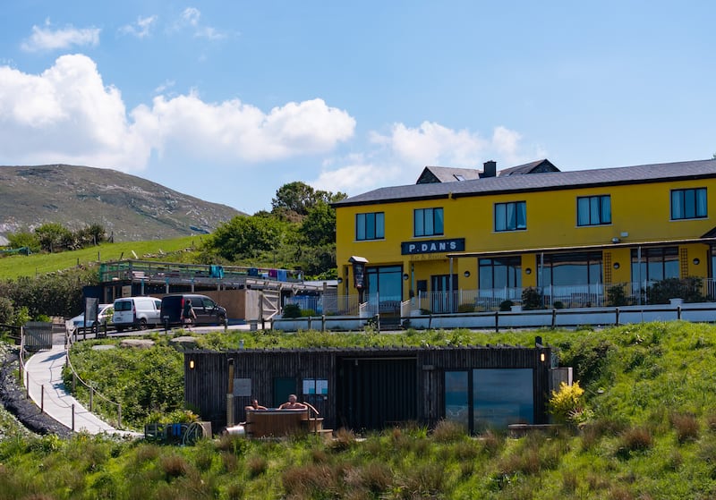 IndicatedEnclosure · 1027 yd
 Enclosure in AghawardEnclosure · 1348 yd
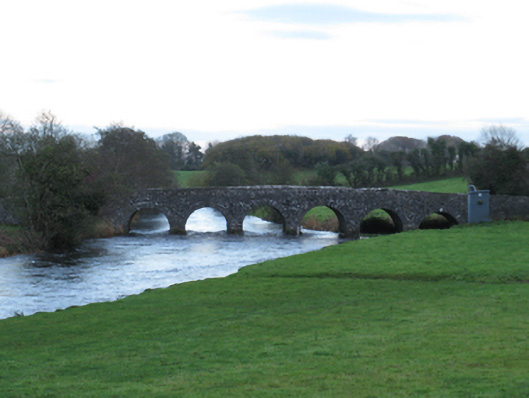 Scarrownageeragh Bridgebridge · 1419 yd
 Shonagawna Castle in RuinsCastle, unclassified · 1540 yd
 Ballylahan Castle in RuinsCastle, Anglo-Norman masonry castle · 1.2 mi
 Michael DavittMemorial · 2.1 mi
 Admiral William BrownMemorial · 4.1 mi
 Foxford Woollen MillsHeritage attraction · 4.1 mi
 Thorn CaveCave · 4.6 mi
 Hennigan's Heritage CentreHeritage attraction · 5.0 mi
 HawthornHawthorn · 5.3 mi