What is recorded here
In pasture, a thicket of overgrowth, located on a rise. The Gweestion River is 200m to N.
This rath is shown on the 1838 OS 6-inch map as an oval enclosure (c. 60m NW−SE; c. 45m NE−SW), skirted by a laneway at S; it is not shown on the 1931 edition.
The W third of this originally oval rath has been levelled. The E portion of the rath survives as a D-shaped earthen platform (22m NE–SW; 25-30m NW−SE) defined N–SW by a bank/scarp, outside which there is a fosse with remnants of an external bank. A NE–SW property fence defines the straight side of the platform. To W of the fence, the SW arc of the enclosure can still be traced as a degraded scarp but the fosse and external bank are not evident; the NE quadrant has been dug away and levelled out.
The inner bank (Wth 5.4-5.8; int. H 0.2-0.6m; ext. H 1.4m at SE, 2m at SW) on the curving side of the platform survives mainly as a scarp, retaining only a slight internal lip at E–S. At NE it has been incorporated into a field fence on a NW–SE axis. The fosse (Wth 3.2m at SE, 4m at SSW) is evident at N–NE as a very shallow depression and at E–SSW it is broad and flat-bottomed with steep sides where it was incorporated into the laneway (shown on the 1838 OS 6-inch map). The external bank (Wth 4.4m; int. H 1.1-1.5m; ext. H 1.2m) survives only at E–SE. A low area or slump (Wth c. 2m) in the inner bank at E may mark an original entrance. There appears to be a broad depression, perhaps the result of quarrying, to W of centre in the rath interior. The rath is covered in dense blackthorn, hawthorn, elder and sycamore trees.
Compiled by: Jane O’Shaughnessy
Date of upload: 25 June 2021
Carrowgallda is an early-medieval ringfort, likely dating to between the 5th and 10th centuries, characterized by its oval shape and location on a rise near the Gweestion River. Local folklore, though sparse, may associate such sites with fairy dwellings or ancient druidic activity, common in Irish tradition.
The monument record does not grant public access. Check the route and ask the landowner before entering private land.
- What survives
- Recorded monument
Places near here
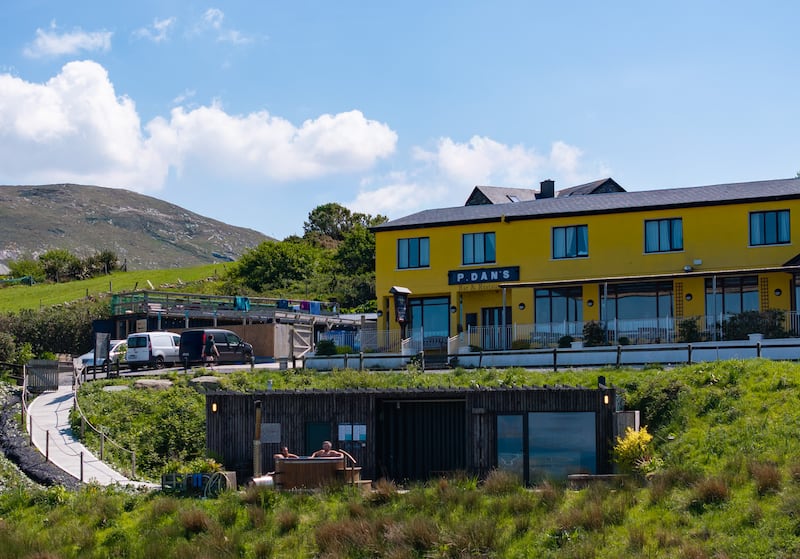 IndicatedEnclosure · 607 yd
 TemplerowuckChurch · 936 yd
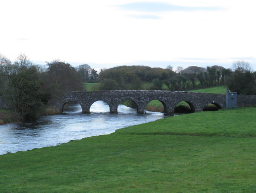 Scarrownageeragh Bridgebridge · 961 yd
 Enclosure in AghawardEnclosure · 1585 yd
 Shonagawna Castle in RuinsCastle, unclassified · 1.0 mi
 Castle in ruinsCastle, tower house · 1.3 mi
 Michael DavittMemorial · 2.4 mi
 Admiral William BrownMemorial · 4.2 mi
 Foxford Woollen MillsHeritage attraction · 4.2 mi
 Thorn CaveCave · 4.3 mi
 Hennigan's Heritage CentreHeritage attraction · 4.8 mi
 HawthornHawthorn · 5.0 mi