What is recorded here
Located in lowlying, improved pasture, just S of a large bend in the River Gweestion.
This possible rath is shown as a circular enclosure (diam. c. 40m) named 'Lisnacromoge' on 1838 OS 6-inch map, with a stream or canal, which links to the Gweestion River, immediately to N; it is not shown on later map editions. It has been levelled. A low irregular, elongated rise (c. 25m N–S; c. 15m E–W) without clearly defined edges can be discerned.
Compiled by: Jane O’Shaughnessy
Date of upload: 25 June 2021
The monument record does not grant public access. Check the route and ask the landowner before entering private land.
- What survives
- Recorded monument
Places near here
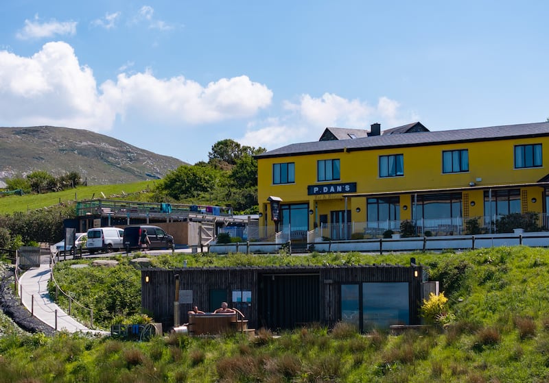 IndicatedEnclosure · 414 yd
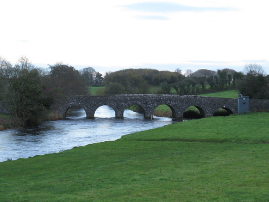 Scarrownageeragh Bridgebridge · 649 yd
 TemplerowuckChurch · 1186 yd
 Enclosure in AghawardEnclosure · 1.1 mi
 Shonagawna Castle in RuinsCastle, unclassified · 1.2 mi
 Castle in ruinsCastle, tower house · 1.4 mi
 Michael DavittMemorial · 2.6 mi
 Thorn CaveCave · 4.1 mi
 Admiral William BrownMemorial · 4.3 mi
 Foxford Woollen MillsHeritage attraction · 4.3 mi
 Hennigan's Heritage CentreHeritage attraction · 4.6 mi
 HawthornHawthorn · 4.8 mi