What is recorded here
In a thicket of overgrowth in the SW corner of a modern rectangular pasture field, straddling a rise.
A circular enclosure (diam. c. 20m) is shown on 1838 OS 6-inch map; it is not shown on later map editions. According to local information, it was known locally as a 'fort'. It consisted of a raised area bisected by a N–S field fence, which is extant. The portion of the enclosure that lay to the W of the fence was entirely dug away to the level of the surrounding field. Quarrying also took place to E of the fence where a roughly D-shaped pit (10m E–W; c. 8m N–S; D c. 1m) is still evident beneath the overgrowth. A possible rath (MA071-009----), also levelled, is 60m to SE.
Compiled by: Jane O’Shaughnessy
Date of upload: 24 September 2021
The monument record does not grant public access. Check the route and ask the landowner before entering private land.
- What survives
- Recorded monument
Places near here
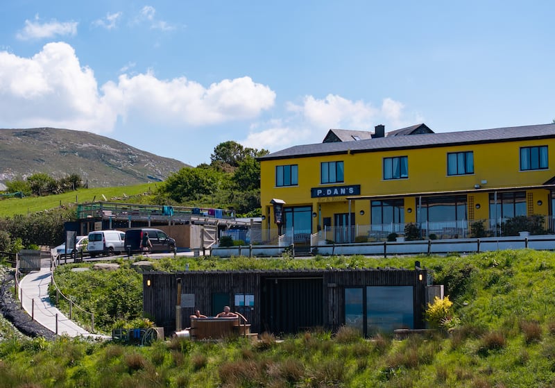 IndicatedEnclosure · 796 yd
 TemplerowuckChurch · 915 yd
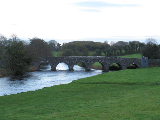 Scarrownageeragh Bridgebridge · 1118 yd
 Enclosure in AghawardEnclosure · 1521 yd
 Shonagawna Castle in RuinsCastle, unclassified · 1720 yd
 Ballylahan Castle in RuinsCastle, Anglo-Norman masonry castle · 1.3 mi
 Michael DavittMemorial · 2.2 mi
 Admiral William BrownMemorial · 4.2 mi
 Foxford Woollen MillsHeritage attraction · 4.2 mi
 Thorn CaveCave · 4.4 mi
 Hennigan's Heritage CentreHeritage attraction · 4.9 mi
 HawthornHawthorn · 5.1 mi