What is recorded here
Indicated is a 28-metre earthen ringfort on a south-facing Cork slope, its stone-faced bank still standing 1.35 metres high despite centuries of erosion. The wide north-west gap and overgrown interior suggest people once shaped the land to hold space against the hill’s pull. Whether for residence, ritual or reinvention, the circle remains a visible claim that the area was never empty.
In pasture, on S-facing slope. Roughly circular area (diam. c. 28m) enclosed by eroded earthen bank (H 1.35m), stone faced in parts. Gap in bank to NNW (Wth 9m). Overgrown interior raised on S side to compensate for hillslope.
The above description is derived from the published 'Archaeological Inventory of County Cork. Volume 1: West Cork' (Dublin: Stationery Office, 1992). In certain instances the entries have been revised and updated in the light of recent research.
Date of upload/revision: 14 January 2009
The monument record does not grant public access. Check the route and ask the landowner before entering private land.
- What survives
- Recorded monument
Places near here
 IndicatedFairy fort / earthen ringfort · 772 yd
 Fulacht fia in CarhoovaulerFulacht fia · 920 yd
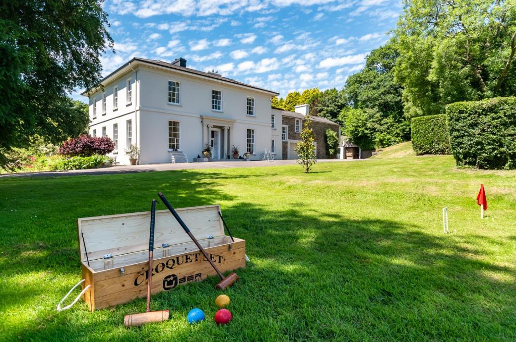 Country house in LiscubbaCountry house · 1.0 mi
 Church in Knocks (carbery East (e.d) By.)Church · 1.0 mi
 Fahanacowley Castle (Site of)Castle, unclassified · 1.1 mi
 Corran HillMountain / peak · 1.1 mi
 Ballinvard CastleCastle · 1.9 mi
 The GlenWood · 2.4 mi
 Irish National Forestry FoundationNature reserve · 3.7 mi
 Battle of the Big Cross (1798) Memorial MonumentMonument · 4.1 mi
 Michael Collins BirthplaceHistoric birthplace · 4.8 mi
 Clonakilty Blackpudding Visitor CentreHeritage attraction · 5.0 mi