What is recorded here
Shown as oval area (c. 20m N-S; c. 13m E-W) on O.S. 1st. ed map. Site now used as dump for field clearance stones and rubble. Possible bank (H 0.5m) to S; natural scarp to N. Locally known as site of "fort". This may be 'the remains of a very small specimen' referred to by Ó Riordain (1932, 4).
The above description is derived from the published 'Archaeological Inventory of County Cork. Volume 1: West Cork' (Dublin: Stationery Office, 1992). In certain instances the entries have been revised and updated in the light of recent research.
Date of upload/revision: 14 January 2009
The monument record does not grant public access. Check the route and ask the landowner before entering private land.
- What survives
- Recorded monument
Places near here
 Fulacht fia in CappaknockaneFulacht fia · 317 yd
 Holy well in Kilcolman (kinalmeaky By.)Holy well · 791 yd
 Tobar MacloonaboySpring · 1601 yd
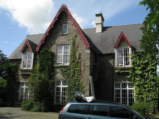 Kilcolman Parkhouse · 1.2 mi
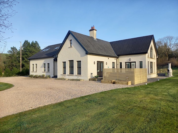 Country house in KilcolmanparkCountry house · 1.2 mi
 Cottage Road WoodWood · 3.1 mi
 Castle DerryCastle · 3.5 mi
 Monteen Castle (in Ruins)Castle, tower house · 3.8 mi
 English hollyEnglish holly · 4.0 mi
 Graveyard in KilmalodaGraveyard · 4.1 mi
 Corran HillMountain / peak · 5.1 mi
 Bandon War MemorialMemorial · 5.1 mi