What is recorded here
In the northern suburb of Callan, N of the river and crossing the millrace which is associated with a watermill (KK026-010021-) on the E side of the suburb and W of the Augustinian friary (KK026-010016-). The main road through the suburb was a continuation northward of Green St. (formerly South St.) on Lower Bridge St. (also called Kenles and Kells St.) running between the main bridge (KK026-010083-) and the bridge over the millrace. It would seem that the bridge and millrace date back to at least the 16th century. References to the ‘hill of Callan’ in the Ormond Deeds appear to refer to the N surburb, as a lease of 1577 describes, ‘a mease [rented property] in the hill of Callan by the north end of the great bridge’, while others refer to ‘messuages [a house with outbuildings and a parcel of land/yard] and gardens’, ‘in the hill of Callan situated between both the bridges’ (Curtis 1941, vol. 5, 284-6, deed 292). Another lease of 1577 describes a property with a garden, ‘near the little bridge’ (ibid., 282, deed 292).
Compiled by: Jean Farrelly
Date of upload: 28 June 2022
The monument record does not grant public access. Check the route and ask the landowner before entering private land.
- What survives
- Recorded monument
Places near here
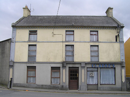 Clarke's or Bridge Househouse · 14 yd
 Margaret RyanMemorial · 21 yd
 The MotteVisitor information · 94 yd
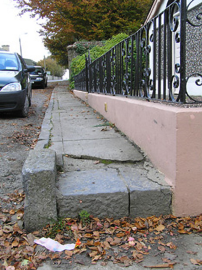 cobbles/flags/paving/kerbingcobbles/flags/paving/kerbing · 102 yd
 Stop 7: Callan's Augustinian FriaryVisitor information · 169 yd
 St. Augustines WellHoly well · 267 yd
 CastleCastle, tower house · 301 yd
 CrossCross, Market cross · 316 yd
 Callan Co-operative Agricultural & Dairy Society Ltd.Memorial · 351 yd
 West CourtCastle, unclassified · 632 yd
 Edmund Rice Heritage CentreMuseum · 899 yd
 Mill IslandIslet · 1.2 mi