
What is recorded here
In level pasture. Circular area enclosed by stone wall (H 1.6m) probably incorporating original bank. Depicted as hachured circular enclosure on O.S. map (1842). Heavily overgrown.
The above description is derived from the published 'Archaeological Inventory of County Cork. Volume 1: West Cork' (Dublin: Stationery Office, 1992). In certain instances the entries have been revised and updated in the light of recent research.
Date of upload/revision: 14 January 2009
A local fairy fort (ringfort/rath); wider significance not recorded.
The monument record does not grant public access. Check the route and ask the landowner before entering private land.
- What survives
- Recorded monument
Places near here
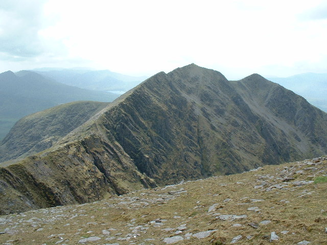 CaveMan-made underground passage · 943 yd
 Castle RockNamed rock · 1506 yd
 Kill Burial Gd (Disused)Burial ground · 1727 yd
 Irish National Forestry FoundationNature reserve · 1.3 mi
 Country house in Manch EastCountry house · 1.4 mi
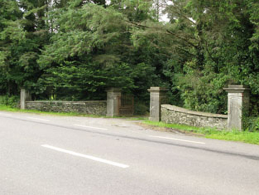 Carrigmore Housegates/railings/walls · 1.5 mi
 OCrowleys Castle (in Ruins)Castle, tower house · 2.7 mi
 Ballynacarriga CastleCastle, tower house · 3.1 mi
 The GlenWood · 3.5 mi
 Corran HillMountain / peak · 3.8 mi
 Graveyard in Dunmanway NorthGraveyard · 4.5 mi
 Funmanway Adventure LandHeritage attraction · 4.7 mi
Other information
Photo: Credit not shown in the picture search · Rights wording not checked; contact us if this picture should be removed